Toiyabe Crest Trail
This information is a public record of the 1979 NRT application and may be out of date if it has not been updated by a trail manager --
check with the trail manager for updated details before visiting.
check with the trail manager for updated details before visiting.
Toiyabe Crest Trail
USDA Forest Service
Backcountry Trail
- Length
72 miles
- Elevation Gain
--
- Route Type
out & back
- Length
72 miles - Elevation Gain
-- - Route Type
out & back
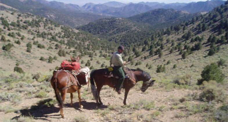

Trail Crew hiking back to camp after a long day. The views along the Toiyabe Crest Trail are worth the long hikes.
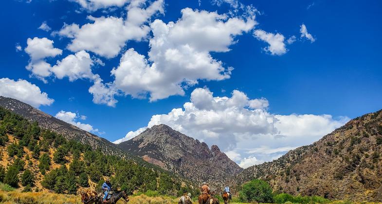
Equestrians along the Toiyabe Crest Trail in Arc Dome Wilderness.
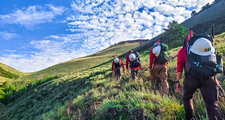
Trail Crew hiking to their work site along the TCT.
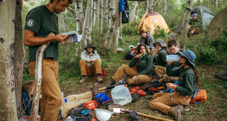
Crew lead Amos Frye teaching fellow Nevada Conservation Corps youths about the Great Basin. Photo by Ken Etzel.
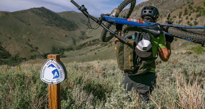
The previously overgrown state of the Toiyabe Crest Trail looking into Washington Creek Canyon. Photo by Ken Etzel.
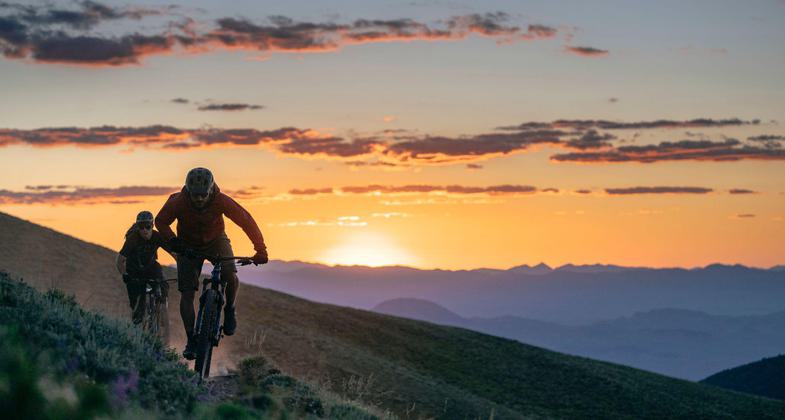
Last light on the Toiyabe Crest Trail above Kingston Canyon. Photo by Ken Etzel.
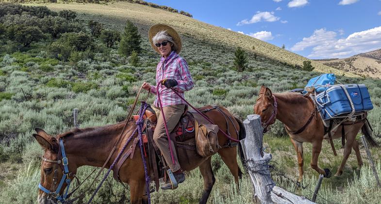
Volunteer packing out a Wilderness Trail crew. Photo by Tara Kleemann.
Location: Central Nevada
- States: Nevada
- Counties: Nye, Lander
The Toiyabe Crest Trail runs 72 miles along the ridges of the Toiyabe Range at elevations generally above 8,000 feet. Because the trail zone traverses some of the highest elevations in the region, it provides considerable scenic potential. High vantage points offer unobstructed views of the surrounding mountains as well as the valleys below. Additionally, historic and recent mining operations may be viewed.
Accessibility Information
No text provided.
Allowed Uses:
Dogs, on leash Equestrian Hiking/Walking Snow, cross-country skiing Snow, snowshoeingOther Activities
- Camping
- Fishing
- Snow, snow play general
- Wildlife viewing / observation
Public Contact
Lance BrownHumboldt-Toiyabe National Forests
100 Midas Canyon Road
Austin, NV 89310
(775) 964-2671
Contact the trail manager for current maps and visiting details.
More Details
- Elevation (low): 7600
- Elevation (high): 11000
- Elevation (cumulative): --
- Part of a Trail System? No
- Surface (primary): Soil
- Surfaces (additional): --
- Tread Width (average): 20"
- Tread Width (minimum): --
- Running length (minimum): --
- Tread Grade (average, percent): 30
- Tread Grade (maximum): 80
- Running length (maximum): --
- Cross-slope (average, percent): --
- Cross-slope (maximum): --
- Running length (maximum): --
- Certified as an NRT
Mar 5, 1979

