Tollantusky Trail
This information is a public record of the 1978 NRT application and may be out of date if it has not been updated by a trail manager --
check with the trail manager for updated details before visiting.
check with the trail manager for updated details before visiting.
Tollantusky Trail
U.S. Corps of Engineers
Backcountry Trail
Frontcountry Trail
- Length
1.42 miles
- Elevation Gain
--
- Route Type
out & back
- Length
1.42 miles - Elevation Gain
-- - Route Type
out & back
Location: At Cadron Settlement Park along the Arkansas R NW of Conway on SR 319.
- States: Arkansas
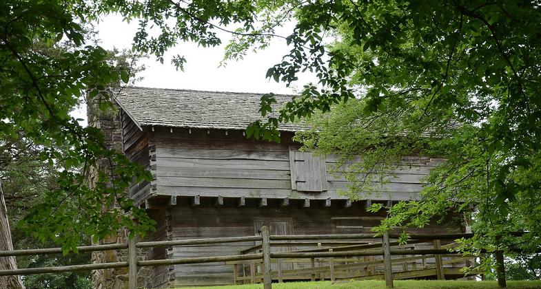
The Tollantusky Trail is located along the Arkansas River in the historic Cadron Settlement, beginning just west of the entrance parking lot and looping back to its starting point. This historic 1.5-mile trail, which interprets Arkansas and its settlers in the early 1800s, is for all levels.
Accessibility Information
No text provided.
Allowed Uses:
Dogs, on leash Hiking/WalkingPublic Contact
Greg MillerUS Army Corps of Engineers
Route 1 Box 267 - X
Ozark, AR 72949
[email protected] • (501) 329-2986
Contact the trail manager for current maps and visiting details.
More Details
- Elevation (low): --
- Elevation (high): --
- Elevation (cumulative): --
- Part of a Trail System? No
- Surface (primary): --
- Surfaces (additional): --
- Tread Width (average): 36"
- Tread Width (minimum): --
- Running length (minimum): --
- Tread Grade (average, percent): --
- Tread Grade (maximum):
- Running length (maximum): --
- Cross-slope (average, percent): --
- Cross-slope (maximum): --
- Running length (maximum): --
- Certified as an NRT
Mar 7, 1978


