Tomales Point Trail
check with the trail manager for updated details before visiting.
Tomales Point Trail
National Park Service
Backcountry Trail
Frontcountry Trail
- Length
4.7 miles
- Elevation Gain
--
- Route Type
out & back
(1 review)
- Length
4.7 miles - Elevation Gain
-- - Route Type
out & back
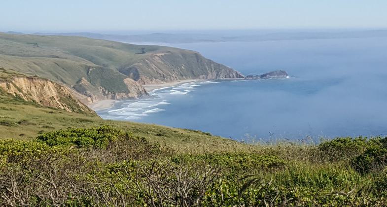
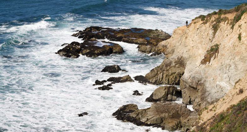
The Tomales Point Trail leads along the ridge crest of a narrow peninsula, offering spectacular views of Tomales Bay and Bolinas Ridge to the east, Bodega Bay to the north, and the coastline of the Point Reyes peninsula stretching to the south.
Location: In Point Reyes NS, connects Upper Pierce Ranch to Lower Pierce Ranch.
- States: California
- Counties: Marin
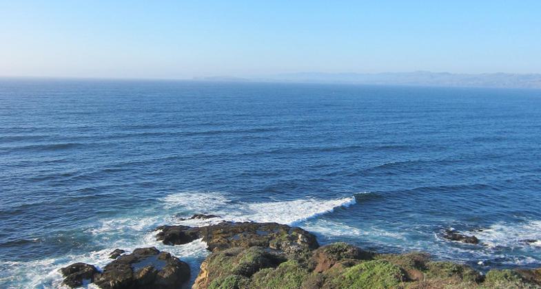
The Tomales Point Trail through the Tule Elk Reserve offers panoramic views of the Pacific Ocean, Bodega Bay, and Tomales Bay as one potentially hikes 9.4 miles round-trip to the northern end of the Peninsula. The first three miles of this trail are maintained and follow the route of an old ranch road as it travels along the crest of the ridge.
The first mile of the trail is fairly level and broad, with views looking west over the Pacific Ocean. This is an opportune section of the trail to be on for sunset (so long as the fog doesn't obscure the view). One can catch the sun setting"into" the ocean and still have enough twilight to walk back to one's vehicle before dark.
At the one-mile mark is Windy Gap at the head of White Gulch. This is a good location from which to view elk gathered at a perennial spring in the gulch below. Looking beyond White Gulch, one has a view of Hog Island in Tomales Bay.
Continuing north on the trail, one begins to ascend along the ridge crest to the highest location along the trail, located approximately 2.25 miles (3.6 km) from the trailhead. If you don't want to sweat much on the return hike, turn around here. Beyond this peak, the trail descends rather steeply over the next 0.75 miles. But, if you are willing to proceed, you will soon arrive at a stock pond at the site of the Lower Pierce Point Ranch. If you have yet to see elk, you'll likely see some here. Turn around here if you desire a 6-mile round-trip hike.
Beyond the Lower Pierce Point Ranch site, the trail is no longer maintained and becomes sandy. In places, it can be challenging to recognize which path to follow among the bush lupine, but the myriad paths tend to reconnect and ultimately merge into one path along the last half mile of the trail.
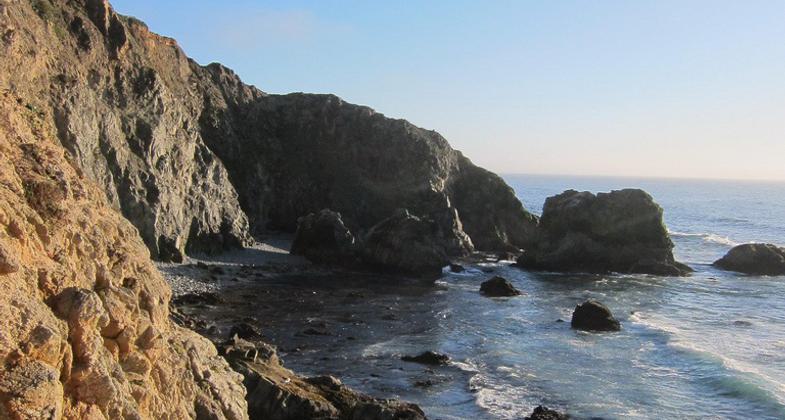
Please stay on the main trail and away from the cliff tops. Bluffs along the California coast are inherently unstable. They are prone to crumbling and sliding, especially in wet weather. It is very dangerous to climb or walk along the edge of cliffs.
Accessibility Information
No text provided.
Reviews
My favorite trail in the Bay Area!
Bay on one side, ocean on the other, the views are spectacular. At about the half way point is a pond where you will always see dozens of Tule elk at close range. Can be very foggy and windy at times.
Allowed Uses:
Hiking/WalkingPublic Contact
Bill MichaelsPoint Reyes National Seashore
Point Reyes, CA 94956
(415) 663-1337 ext. 25
www.nps.gov/pore
Contact the trail manager for current maps and visiting details.
More Details
- Elevation (low): 5
- Elevation (high): --
- Elevation (cumulative): --
- Part of a Trail System? No
- Surface (primary): Soil
- Surfaces (additional): Soil
- Tread Width (average): 60"
- Tread Width (minimum): --
- Running length (minimum): --
- Tread Grade (average, percent): --
- Tread Grade (maximum):
- Running length (maximum): --
- Cross-slope (average, percent): --
- Cross-slope (maximum): --
- Running length (maximum): --
- Certified as an NRT
Mar 19, 1981

