Trade Winds Trail
This information is a public record of the 1980 NRT application and may be out of date if it has not been updated by a trail manager --
check with the trail manager for updated details before visiting.
check with the trail manager for updated details before visiting.
Trade Winds Trail
USDA Forest Service
Backcountry Trail
- Length
4.6 miles
- Elevation Gain
--
- Route Type
out & back
- Length
4.6 miles - Elevation Gain
-- - Route Type
out & back

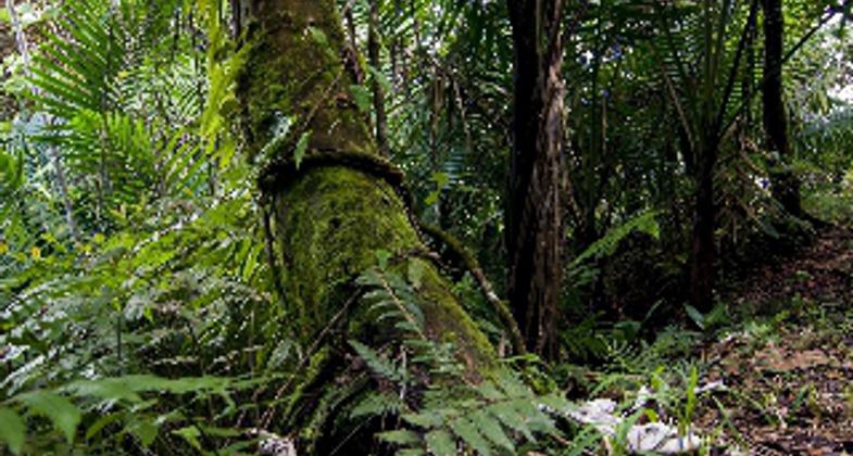
Hiker looking at Palo Colorado, El Yunque National Forest, Puerto Rico -Photo by Jerry Bauer.

Palo Colorado tree. Photo by Jerry Bauer.

Giant tree fern fiddle. Photo by Jerry Bauer.
Location: Caribbean National Forest, In Caribbean National Forest, E of Benitez, joins El Toro Peak to PR Hwy. #191.
- States: Puerto Rico
- Counties: Rio Grande
Trade Winds Trail is a remote trail that leads the hiker to El Toro Peak, one of the highest peaks in the forest. It also connects to El Toro Trail. Once the hiker reaches El Toro Peak, the views of the forest and the Atlantic Ocean shoreline are spectacular. The flora and fauna found along the trail are unique to the upper elevations of the rainforest. Due to the rain, lush vegetation, and steep slopes, the trail can be very challenging to the first-time hiker. The trail was constructed by the Civilian Conservation Corps in the 1940s.
Accessibility Information
No text provided.
Allowed Uses:
Swimming Dogs, on leash Hiking/WalkingOther Activities
- Camping
- Wildlife viewing / observation
Public Contact
Jose OrtegaEl Yunque National Forest
P.O. Box 490
Palmer, PR 721
[email protected] • (787) 888-5613
www.fs.usda.gov/main/elyunque/home
Contact the trail manager for current maps and visiting details.
More Details
- Elevation (low): 2427
- Elevation (high): 3533
- Elevation (cumulative): --
- Part of a Trail System? No
- Surface (primary): Soil
- Surfaces (additional): Soil
- Tread Width (average): 48"
- Tread Width (minimum): --
- Running length (minimum): --
- Tread Grade (average, percent): 10
- Tread Grade (maximum): 15
- Running length (maximum): --
- Cross-slope (average, percent): --
- Cross-slope (maximum): --
- Running length (maximum): --
- Certified as an NRT
Jan 31, 1980


