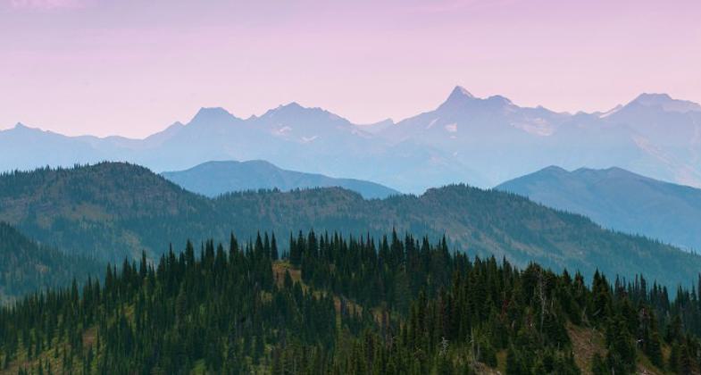
Trout Creek Loop
This information is a public record of the 1982 NRT application and may be out of date if it has not been updated by a trail manager --
check with the trail manager for updated details before visiting.
check with the trail manager for updated details before visiting.
Trout Creek Loop
USDA Forest Service
Backcountry Trail
- Length
22.2 miles
- Elevation Gain
--
- Route Type
out & back
- Length
22.2 miles - Elevation Gain
-- - Route Type
out & back
Trout Creek National Recreation Trail (774) traverses a pristine roadless area of over 20,000 acres, making it one of the longest trails through primitive country in northwest Montana outside of designated wilderness.
Location: 4 miles west of Trout Co., MT
- States: Montana
- Counties: Sanders
Trout Creek National Recreation Trail (774) traverses a pristine roadless area of over 20,000 acres, making it one of the longest trails through primitive country in northwest Montana outside of designated wilderness. The trail climbs to an elevation of 5400 feet near Ninety-three Mile Lake, which is characterized by high alpine vegetation and glacial cirques. There are many campsites along the trail.
Accessibility Information
No text provided.
Allowed Uses:
Bicycling Hiking/Walking Snow, cross-country skiing Snow, snowshoeingOther Activities
- Camping
- Fishing
- Snow, snow play general
Public Contact
Bruce HaflichUS Forest Service
2693 Hwy. 200
Trout Creek, MT 59874
[email protected] • (406) 827-3533
Contact the trail manager for current maps and visiting details.
More Details
- Elevation (low): 2350
- Elevation (high): --
- Elevation (cumulative): --
- Part of a Trail System? No
- Surface (primary): Soil
- Surfaces (additional): Soil
- Tread Width (average): 24"
- Tread Width (minimum): --
- Running length (minimum): --
- Tread Grade (average, percent): 5
- Tread Grade (maximum): 20
- Running length (maximum): --
- Cross-slope (average, percent): --
- Cross-slope (maximum): --
- Running length (maximum): --
- Certified as an NRT
Oct 24, 1982


