Tunnel Hill State Trail
check with the trail manager for updated details before visiting.
Tunnel Hill State Trail
State
Rail Trail
- Length
47.5 miles
- Elevation Gain
--
- Route Type
out & back
(1 review)
- Length
47.5 miles - Elevation Gain
-- - Route Type
out & back
The trail runs for 45 miles from Feazel Street in Harrisburg to Karmak in southern Illinois.
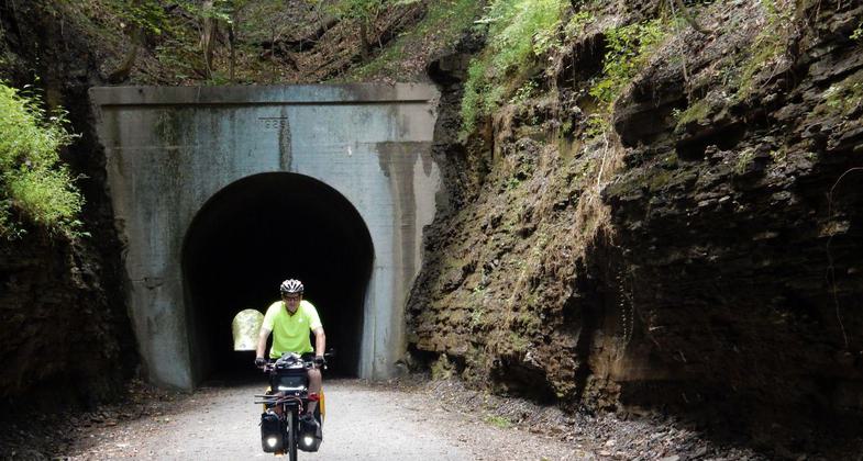
photo by Trails for Illinois, flickr.

Winner 2024 NRT Photo Contest, Health and Fitness

Winner 2022 NRT Photo Contest, Winter Trails. Photo by Jonathan Voelz.

Artistic rivet view. Photo by Jonathan Voelz.

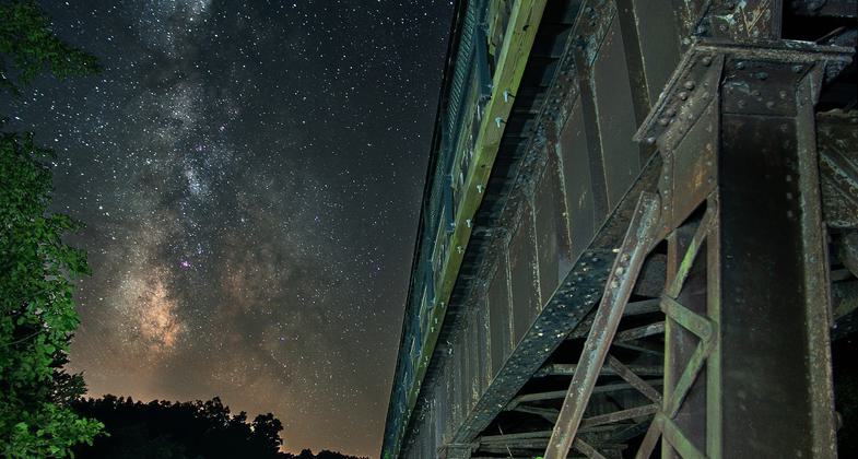
The Milky Way featured alongside the 450-foot Breeden Trestle. Photo by John O'Connell Photography.

Vienna visitor and tourism center connected to trail and park - community working to promote the trail. Photo by Jonathan Voelz.

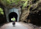
Tunnels aren't only man-made along Tunnel Hill State Trail. Photo by Jonathan Voelz.

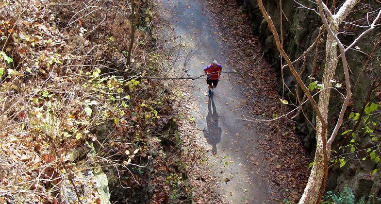
Watching runners head into the tunnel from above. Photo by Jonathan Voelz.

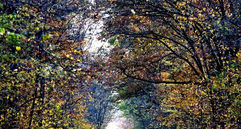
Fall along southern trail segment. Photo by Jonathan Voelz.

Trail side entrepreneur. Photo by Jonathan Voelz.
Location: Counties of Saline, Williamson, Johnson, and Pulaski
- States: Illinois
- Counties: Saline, Williamson, Johnson, Pulaski
The trail runs for 45 miles from Feazel Street in Harrisburg to Karmak in southern Illinois. The trail is managed by the Illinois Department of Natural Resources. From Karnak, a 2.5-mile spur on the old Chicago and Eastern Illinois Railroad runs to the new Henry Barkhausen Wetlands Center.
The Tunnel Hill Trail is part of a former railroad founded by Civil War General Ambrose Burnside. In 1872 Burnside and others began the Vincennes & Cairo Railroad, which connected Vincennes, Indiana, and Cairo, Illinois. The railroad changed hands through the years and was operated as the Wabash, St. Louis & Pacific; the New York Central; Penn Central; Conrail; and during its most productive years, the Cleveland, Chicago, Cincinnati & St. Louis Railroad, known as the Big Four. The last owners were the Southern Railway and following a merger, the Norfolk Southern Railroad.
Beginning in Harrisburg, the trail is at 370 feet above sea level, rising to 680 feet at Tunnel Hill and then dropping to 340 feet at Karnak. A 543-foot long tunnel gave the nearby town its name, and now the trail. The trail crosses 23 trestles ranging from 34 feet long to 450 feet. The longest, Breeden Trestle, is also the highest at 90 feet. The abandoned railroad right-of-way varies between 40 and 200 feet in width.
The Tunnel Hill State Trail connects a number of communities, hamlets, and ghost towns. It is a day-use facility, offering drinking water, privy toilets, and parking in access areas. Several campgrounds are located nearby. The site office is in Vienna and includes interpretive displays and other information.
Accessibility Information
No text provided.
Allowed Uses:
Bicycling Dogs, on leash Hiking/WalkingOther Activities
- Camping
Public Contact
Bill ReynoldsIllinois Dept. of Natural Resources
P.O. Box 671
Vienna, IL 62995
(618) 658-2168
dnr.state.il.u
Contact the trail manager for current maps and visiting details.
More Details
- Elevation (low): 340
- Elevation (high): 680
- Elevation (cumulative): --
- Part of a Trail System? No
- Surface (primary): Rock, crushed
- Surfaces (additional): Rock, crushed
- Tread Width (average): 120"
- Tread Width (minimum): --
- Running length (minimum): --
- Tread Grade (average, percent): 2
- Tread Grade (maximum): 3
- Running length (maximum): --
- Cross-slope (average, percent): --
- Cross-slope (maximum): --
- Running length (maximum): --
- Certified as an NRT
Jun 3, 2005

