Tuxachanie Hiking Trail
check with the trail manager for updated details before visiting.
Tuxachanie Hiking Trail
USDA Forest Service
Backcountry Trail
- Length
13.2 miles
- Elevation Gain
--
- Route Type
out & back
(2 reviews)
- Length
13.2 miles - Elevation Gain
-- - Route Type
out & back
This 13-mile long trail traverses longleaf pine ridges, pitcher plant savannas, and flooded tupelo/bald cypress swamps.
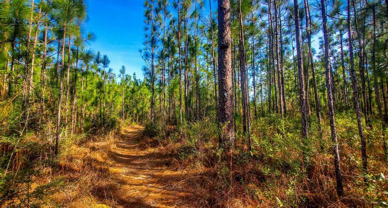
Trail covered in pine straw. Photo by Trey Cranford.

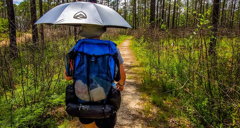
Photo by Trish Ellis

Log Bridge over the Creek. Photo by Trey Cranford.

2020 NRT Photo Contest Winner - Hiking and Walking. Photo by Trey Cranford.

Enjoying some campfire stories on a weekend camping trip. Photo by Trey Cranford.

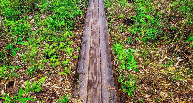
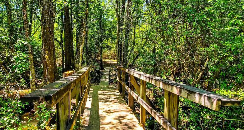
Wooden bridge on the Tuxachanie. Photo by Trey Cranford.

Don't forget to enjoy the little things. Photo by Trey Cranford.

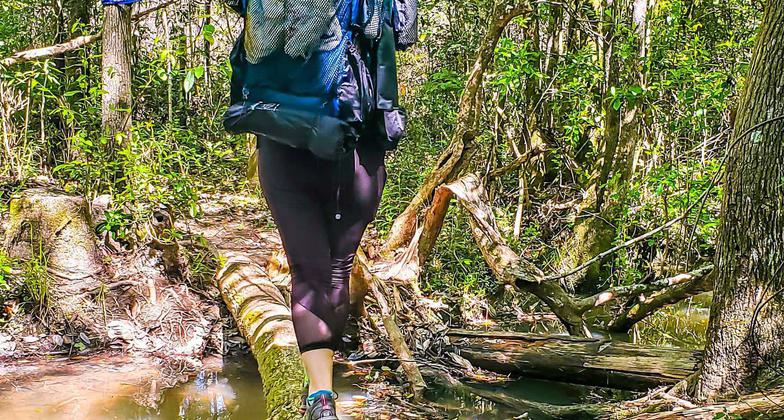
Crossing a log over a huge puddle. Photo by Trey Cranford.

Crossing a bridge along the Tuxachanie Trail on a bright sunny day. Photo by Trey Cranford.

Sign at entrance to Tuxachanie Hiking Trail. Photo by Woodlot/wiki.
Location: DeSoto National Forest, In the DeSoto National Forest along SR 67, 10 mi. N of Gulfport.
- States: Mississippi
- Counties: Stone, Harrison
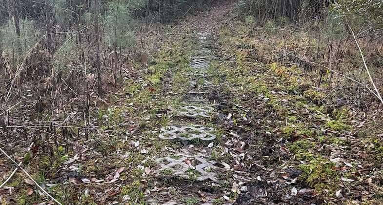
This 13-mile long trail traverses longleaf pine ridges, pitcher plant savannas, and flooded tupelo/bald cypress swamps. From rows of live oaks planted at the trail's entrance, the first five miles follow an old abandoned logging railroad that once served the sawmill of the Dantzler Lumber Company at Harrison. Remains of the railroad trestles, built by Irish immigrants in the early 1900s, can still be seen on some of the creek crossings. Note: this trail is designated for foot travel only except on a short section used in conjunction with the Big Foot Horse Tail.
Accessibility Information
No text provided.
Reviews
Patricia Ellis
Some bridges need repair/replacing, but nice trail
Hiked this March 23 and 25, 2025. Well-traveled trail, lovely pines and ponds/lakes. The eastern few miles are narrow and could use some brushing. A few of the bridges need repair/replacing. There are a couple places where horse trails or herd paths branch off, so bring a map or use your app (I use Gaia) to avoid confusion. For the most part though, the trail was easy to follow and the scenery was always lovely. Trish Ellis (formerly Janie Walker)
Ramona Petrella
History and. Nature combination
The trail is well maintained and easy to find. It travels through several Ecosystems including some wet areas but allows you to keep your feet dry. Mostly flat but with some interesting ups and downs. We did the first three miles and plan to return for more.
Allowed Uses:
Dogs, on leash Hiking/WalkingOther Activities
- Camping
- Wildlife viewing / observation
Public Contact
DeSoto National Forest654 West Frontage Road
Wiggins, MS 39577
[email protected] • (601) 965-1600
Contact the trail manager for current maps and visiting details.
More Details
- Elevation (low): 60
- Elevation (high): 300
- Elevation (cumulative): --
- Part of a Trail System? No
- Surface (primary): Soil
- Surfaces (additional): --
- Tread Width (average): 30"
- Tread Width (minimum): --
- Running length (minimum): --
- Tread Grade (average, percent): 2
- Tread Grade (maximum): 25
- Running length (maximum): --
- Cross-slope (average, percent): --
- Cross-slope (maximum): --
- Running length (maximum): --
- Certified as an NRT
Oct 4, 1979

