Union Canal Bicycle and Walking Trail
This information is a public record of the 1975 NRT application and may be out of date if it has not been updated by a trail manager --
check with the trail manager for updated details before visiting.
check with the trail manager for updated details before visiting.
Union Canal Bicycle and Walking Trail
City, Town, or County
Backcountry Trail
- Length
4.2 miles
- Elevation Gain
--
- Route Type
out & back
- Length
4.2 miles - Elevation Gain
-- - Route Type
out & back
The Union Canal Towpath Trail in Berks County, Pennsylvania is a popular hiking and biking spot for locals and visitors to this gorgeous area.

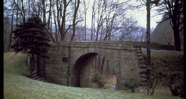
Tulpehocken Creek Historic District, stone bridge over mill creek. Photo by Shuvaev.

Womelsdorf Mill complex, Tulpehocken Creek Historic District, stone bank barn. Photo by Shuvaev.

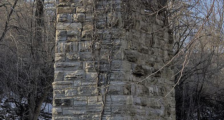
Tulpehocken Creek Old Bridge Remains. Photo by Jason Bolonski.
Location: In Reading, extends W along Tulpehocken Creek to Rebers Bridge Road. Connecting to Blue Marsh Lake trail system.
- States: Pennsylvania
- Counties: Berks
- Cities/Townships: Reading, Wyomissing, Bern Township
The trail traces the former Union Canal towpath from the Reading city limits northward towards Blue Marsh Lake property at Reber's Bridge Road. The 4.2-mile trail is used for biking, running, and other outdoor activities. An interpretive Walking tour brochure and QR codes on posts are available. A 2-mile connector trail links to the Blue Marsh Lake trail system.
Accessibility Information
No text provided.
Allowed Uses:
Bicycling Hiking/Walking Snow, cross-country skiing Snow, snowshoeingOther Activities
- Heritage and history
- Snow, snow play general
- Wildlife viewing / observation
Public Contact
Cathy WegenerBerks County Parks & Recreation Department
2201 Tulpehocken Road
Wyomissing, PA 19610
[email protected] • (610) 374-8839
www.countyofberks.com/park
Contact the trail manager for current maps and visiting details.
More Details
- Elevation (low): --
- Elevation (high): --
- Elevation (cumulative): --
- Part of a Trail System? No
- Surface (primary): Rock, crushed
- Surfaces (additional): Paved, Snow or ice
- Tread Width (average): 0"
- Tread Width (minimum): --
- Running length (minimum): --
- Tread Grade (average, percent): --
- Tread Grade (maximum):
- Running length (maximum): --
- Cross-slope (average, percent): --
- Cross-slope (maximum): --
- Running length (maximum): --
- Certified as an NRT
Dec 18, 1975


