Upper Rogue River Trail
This information is a public record of the 1979 NRT application and may be out of date if it has not been updated by a trail manager --
check with the trail manager for updated details before visiting.
check with the trail manager for updated details before visiting.
Upper Rogue River Trail
USDA Forest Service
Backcountry Trail
- Length
47.9 miles
- Elevation Gain
--
- Route Type
out & back
- Length
47.9 miles - Elevation Gain
-- - Route Type
out & back
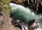
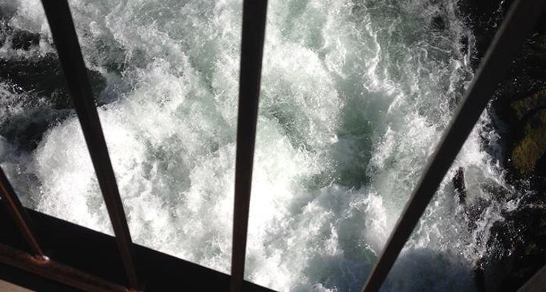
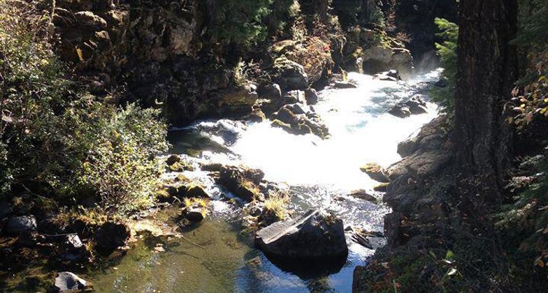
Trip to upper Rogue River by Prospect & Union Creek Or. Photo by Lou Young.
Trip to upper Rogue River by Prospect & Union Creek Or. Photo by Lou Young.
Trip to upper Rogue River by Prospect & Union Creek Or. Photo by Lou Young.
Trip to upper Rogue River by Prospect & Union Creek Or. Photo by Lou Young.
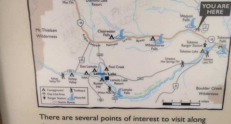
Location: Along the Upper Rogue River, Along State Route 62 in Rogue River valley above Shady Cove.
- States: Oregon
- Counties: Douglas, Jackson
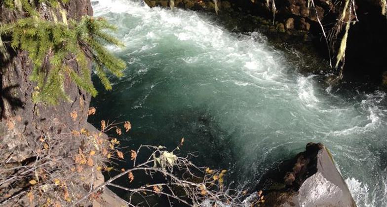
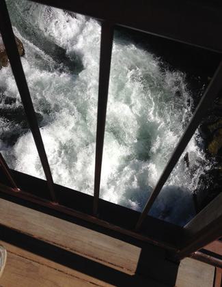
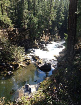
A gentle 48-mile trail following the Upper Rogue, wild and scenic river. Trail passes through old-growth mixed conifer forest and through several geologic features (Takelma Gorge and Natural Bridge). Spectacular fall colors.
Accessibility Information
No text provided.
Allowed Uses:
Dogs, on leash Equestrian Hiking/WalkingOther Activities
- Fishing
Public Contact
Courtney Reutzel, Recreation Program Manager High CascadesRanger District Rogue River-Siskiyou National Forest
47201 Highway 62
Prospect, OR 97536-9724
[email protected] • (541) 560-3417
www.fs.usda.gov/recarea/rogue-siskiyou/recarea/?recid=82787
More Details
- Elevation (low): 2600
- Elevation (high): 5200
- Elevation (cumulative): --
- Part of a Trail System? No
- Surface (primary): Soil
- Surfaces (additional): Soil
- Tread Width (average): 24"
- Tread Width (minimum): --
- Running length (minimum): --
- Tread Grade (average, percent): --
- Tread Grade (maximum):
- Running length (maximum): --
- Cross-slope (average, percent): --
- Cross-slope (maximum): --
- Running length (maximum): --
- Certified as an NRT
Jan 4, 1979