Veterans Park Trail
check with the trail manager for updated details before visiting.
Veterans Park Trail
City, Town, or County
Backcountry Trail
Frontcountry Trail
Urban Trail
- Length
4.8 miles
- Elevation Gain
--
- Route Type
Loop
- Length
4.8 miles - Elevation Gain
-- - Route Type
Loop
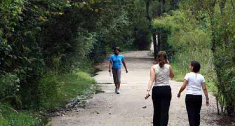
The 4.8-mile trail features a running/walking cross-country course and a boardwalk winding through an open field, wetland, and woodland. The trail directly accesses a middle school, high school, community college, two small lakes, and two playgrounds and is a short drive (1 mile) from single-family neighborhoods.
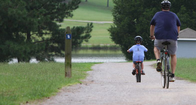
Bikers on trail. Photo by Tommy Daniel.
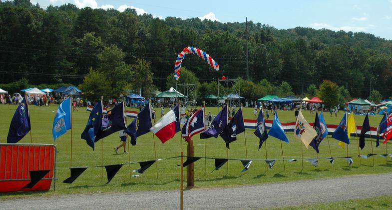
Cross County flags. Photo by Tommy Daniel.
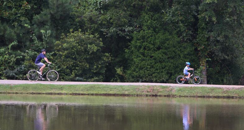
Bikers north of lake. Photo by Tommy Daniel.
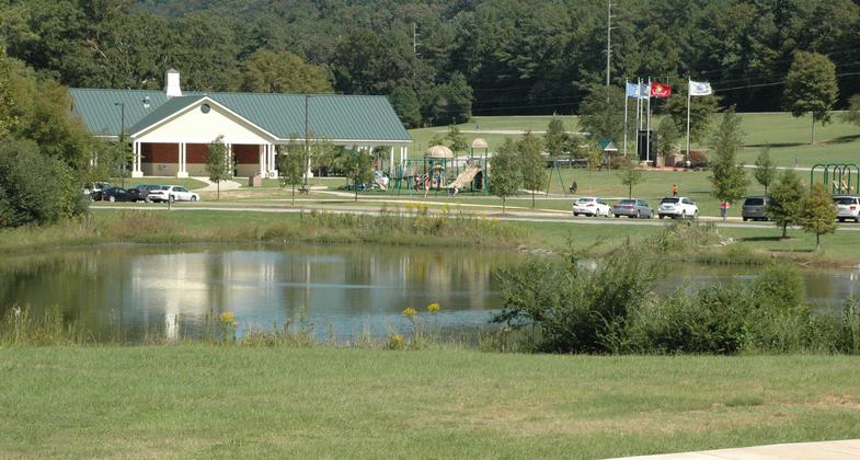
Photo by Tommy Daniel.
Location: In Hoover, AL, S of Birmingham, In Hoover, south of Birmingham, on Valleydale Road west of County Road 29.
- States: Alabama
- Counties: Shelby
Veterans Park Trail (VPT) is a five-mile (8K) compacted crushed stone trail located in Veterans Park, an 82-acre site that is the City of Hoover's newest and largest park. The trail, constructed and maintained by the City of Hoover (pop. approx. 70,000), is open to the public year-round at no charge.
VPT has many special and unique features. The multi-use nature, running, and boardwalk trail winds through diverse open fields, wetlands, and forested areas. The trail provides many opportunities for individual fitness programs for all ages and is used as a cross-country running course that hosts major cross-country events in the Southeast. The trail was designed with a connector tunnel so that people can use the full length of the trail without having to cross a public road. The location of the trail and its multiple uses attracts daily users and tens of thousands of visitors every year participating in various events at the park.
There are many amenities along the trail such as parking, restrooms, water fountains, picnic table, trail benches, and trash receptacles with disposable pet waste bags. Recreational activities include such things as picnicking, beach volleyball, fishing, and open-field play.
Accessibility Information
No text provided.
Allowed Uses:
Bicycling Dogs, on leash Hiking/WalkingOther Activities
- Wildlife viewing / observation
Public Contact
Sharon Deep Nelson2020 Valleydale Road
Hoover, AL 35244
[email protected] • (205) 444-7743
www.hooveral.org
Contact the trail manager for current maps and visiting details.
More Details
- Elevation (low): --
- Elevation (high): --
- Elevation (cumulative): --
- Part of a Trail System? No
- Surface (primary): Rock, crushed
- Surfaces (additional): Paved, Boardwalk, Grass or Vegetation
- Tread Width (average): 127"
- Tread Width (minimum): --
- Running length (minimum): --
- Tread Grade (average, percent): 1
- Tread Grade (maximum): 20
- Running length (maximum): --
- Cross-slope (average, percent): --
- Cross-slope (maximum): --
- Running length (maximum): --
- Certified as an NRT
May 2, 2010

