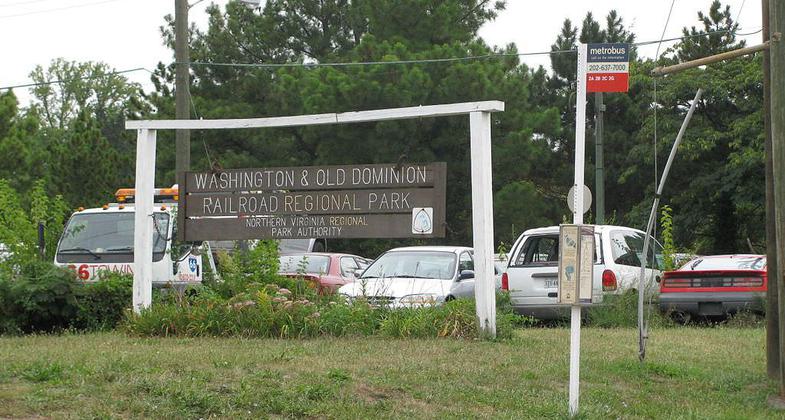
W & OD Railroad Regional Park
This information is a public record of the 1978 NRT application and may be out of date if it has not been updated by a trail manager --
check with the trail manager for updated details before visiting.
check with the trail manager for updated details before visiting.
W & OD Railroad Regional Park
City, Town, or County
- Length
45 miles
- Elevation Gain
--
- Route Type
out & back
- Length
45 miles - Elevation Gain
-- - Route Type
out & back
Location:
- States: Virginia
Often called the skinniest park in Virginia, Washington & Old Dominion (W&OD) Railroad Regional Park is a paved trail between Shirlington and Purcellville, Virginia. Run, cycle, or skate the 45-mile route along the former roadbed of the Washington & Old Dominion Railroad, which runs through the urban heartland and into the Virginia countryside. Equestrians can ride the adjacent 32-mile gravel horse trail. The W&OD trail has multiple parking areas, enabling you to jump on and off the trail at various points.
Accessibility Information
No text provided.
Allowed Uses:
Hiking/WalkingMore Details
- Elevation (low): --
- Elevation (high): --
- Elevation (cumulative): --
- Part of a Trail System? No
- Surface (primary): --
- Surfaces (additional): --
- Tread Width (average): 120"
- Tread Width (minimum): --
- Running length (minimum): --
- Tread Grade (average, percent): --
- Tread Grade (maximum):
- Running length (maximum): --
- Cross-slope (average, percent): --
- Cross-slope (maximum): --
- Running length (maximum): --
- Certified as an NRT
Dec 31, 1978


