Wabash Trace Nature Trail
check with the trail manager for updated details before visiting.
Wabash Trace Nature Trail
Nonprofit
Backcountry Trail
Frontcountry Trail
Rail Trail
- Length
63 miles
- Elevation Gain
--
- Route Type
out & back
- Length
63 miles - Elevation Gain
-- - Route Type
out & back
The Wabash Trace Nature Trail is a 63-mile converted rail trail through scenic southwest Iowa. Experience the best of small-town Iowa, from local cafes, ice cream, and coffee shops to exquisite dining, wineries, breweries, museums, and art galleries, and unique downtown shopping. Camping opportunities are plentiful, and hotels, cabins, and B&Bs are along the way for those who prefer a bed. Council Bluffs and Omaha are along the way.
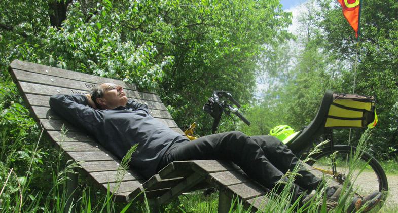
Photo by Jim Schmid.

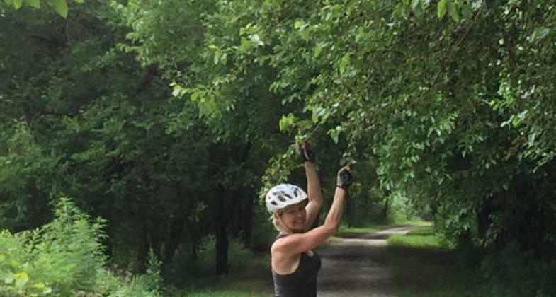
Mulberry Trees near Silver City. Photo by Joe Bussey.
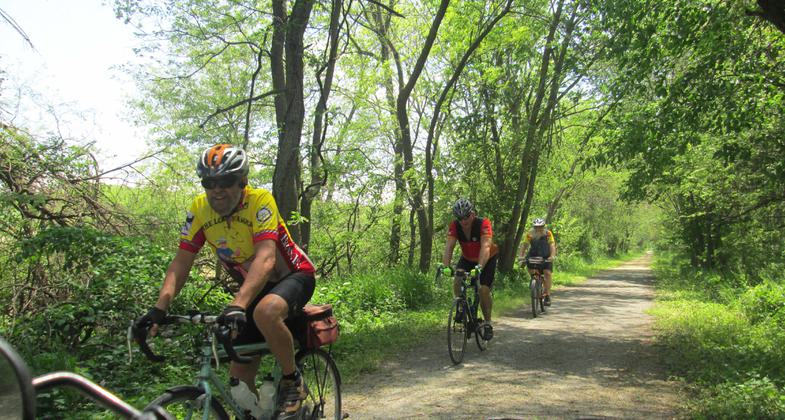
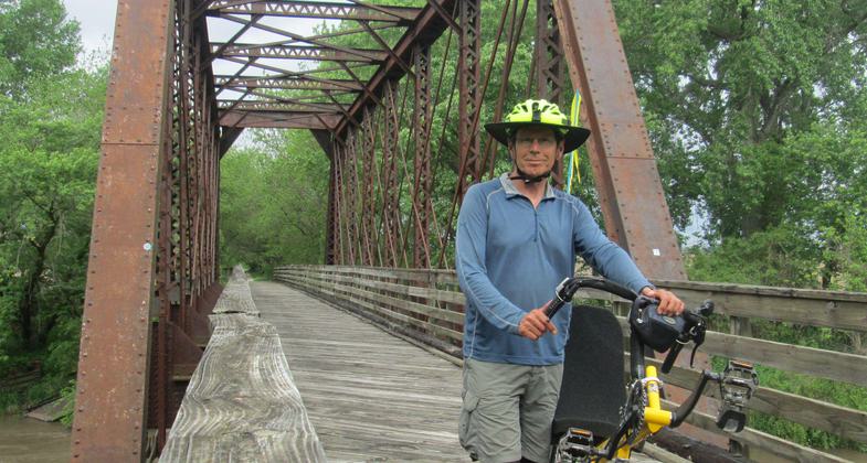
Photo by Jim Schmid.
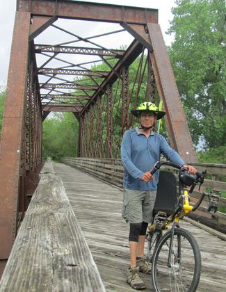
Photo by Jim Schmid.
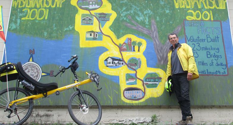
Photo by Jim Schmid.
Location: Southwest Iowa along the base of the Loess Hills - Council Bluffs, IA to Blanchard, IA along a former railroad corridor, this 63 mile long 4-county railtrail connects Blanchard northwest to Council Bluffs.
- States: Iowa
- Counties: Page, Fremont, Mills, Pottawattamie
- Cities/Townships: Council Bluffs, Mineola, Silver City, Malvern, Imogene, Shenandoah, Coin, Blanchard
The Wabash Trace Nature Trail began as Iowa's longest rail trail. This 63-mile-long crushed limestone trail was built in the late 1980s and early 1990s on a portion of the former Council Bluffs and St. Louis railroad. The trail is a pathway through a serene and unique landscape. Users can begin in the town of Blanchard along the Missouri/Iowa border and travel north through the communities of Coin, Shenandoah, Imogene, Malvern, Silver City, and Mineola on their way to the city of Council Bluffs on the Nebraska/Iowa border.
Recent trail additions now connect it to the Omaha metro area across the Bob Kerrey Pedestrian Bridge. Nature and recreation enthusiasts are able to hike, run, bicycle, cross-country ski, bird watch, and participate in countless other activities. The trail's northwestern portion exposes the Loess Hills' natural wonder. The Loess Hills were formed from fine soil (loess) blown by the wind over thousands of years. This process resulted in the creation of 200-300 ft hills for 200 miles along the western border of Iowa. Only in Western Iowa and along the Yellow River in China can someone view Loess Hills to such depth and extent.
The trail intersects the Loess Hills National Scenic Byway in many places. The trail's grade remains a gentle 3% despite the fragile hills that line the path. Along the northeastern portion, the trail is encompassed by a tunnel of arched trees. Their shade is a welcoming sight to bicyclists in the summer. In the south, outdoor enthusiasts can travel through extensive remnant prairie near the City of Coin. Because of the natural resources protected by the trail, families, and individuals can observe a variety of wildlife including native plant species not found anywhere else in the state.
In addition to the majestic Loess Hills and treasured prairies, the Wabash Trace Nature Trail provides access to many historical and cultural resources including a portion of the Mormon Trail and the renovated Wabash Depot in Shenandoah. One can visit the Western Historic Trails Center, a National Park Service educational facility in Council Bluffs. The Wabash Trace Nature Trail was developed by the dedicated members of Southwest Iowa Nature Trail, Inc (SWINT). Countless volunteers make up SWINT, a private non-profit. They are responsible for the continual development and maintenance of the 63-mile trail. SWINT works closely with the Iowa Natural Heritage Foundation and participating County Conservation Boards to ensure the protection of the recreation and conservation corridor.
Accessibility Information
No text provided.
Allowed Uses:
Bicycling Dogs, on leash Hiking/Walking Snow, cross-country skiing Snow, snowshoeingOther Activities
- Camping
- Snow, snow play general
- Wildlife viewing / observation
Public Contact
Rebecca CastleSouthwest Iowa Nature Trail, Inc. (SWINT)
304 W. Sheridan Ave.
Shenandoah, IA 51601
[email protected] • (515) 210-0269
wabashtrace.org
Contact the trail manager for current maps and visiting details.
More Details
- Elevation (low): 1000
- Elevation (high): 1000
- Elevation (cumulative): --
- Part of a Trail System? No
- National Designations: RTC's Rail-Trail Hall of Fame
- State Designations: Lewis & Clark Today's Route Bike Route
- Surface (primary): Rock, crushed
- Surfaces (additional): Rock, crushed
- Tread Width (average): 108"
- Tread Width (minimum): --
- Running length (minimum): --
- Tread Grade (average, percent): 2
- Tread Grade (maximum): 3
- Running length (maximum): --
- Cross-slope (average, percent): --
- Cross-slope (maximum): --
- Running length (maximum): --
- Certified as an NRT
May 31, 2007

