Wade Mountain Nature Preserve Trail System
check with the trail manager for updated details before visiting.
Wade Mountain Nature Preserve Trail System
Nonprofit
Backcountry Trail
Frontcountry Trail
Urban Trail
- Length
9.4 miles
- Elevation Gain
--
- Route Type
Loop
- Length
9.4 miles - Elevation Gain
-- - Route Type
Loop
Wade Mountain Nature Preserve is currently 843 acres with eight miles of trails for hiking, biking, or riding. Featured on this property is the Devil's Race Track which has one of the best views north of Huntsville, with views to Tennessee on a clear day. The Wade Mountain Nature Preserve is one of three Land Trust of North Alabama Preserves that are each larger than Central Park and are all within Huntsville city limits.
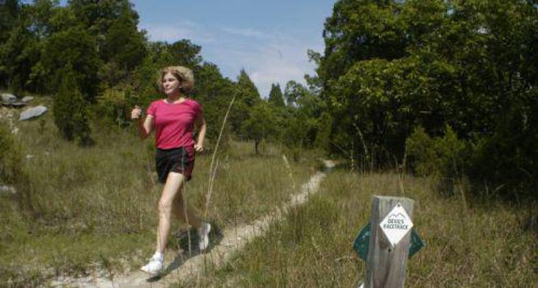
Jogger On Devils Racetrack, Wade Mountain Nature Preserve. Photo by Jerry Green

Wade Mountain Nature Preserve Spring
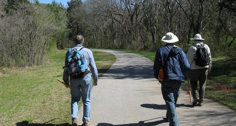
Dry Creek Greenway toward Land Trust trails
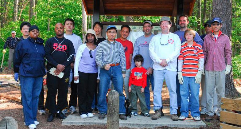
Toyota Volunteers on National Youth Service Day
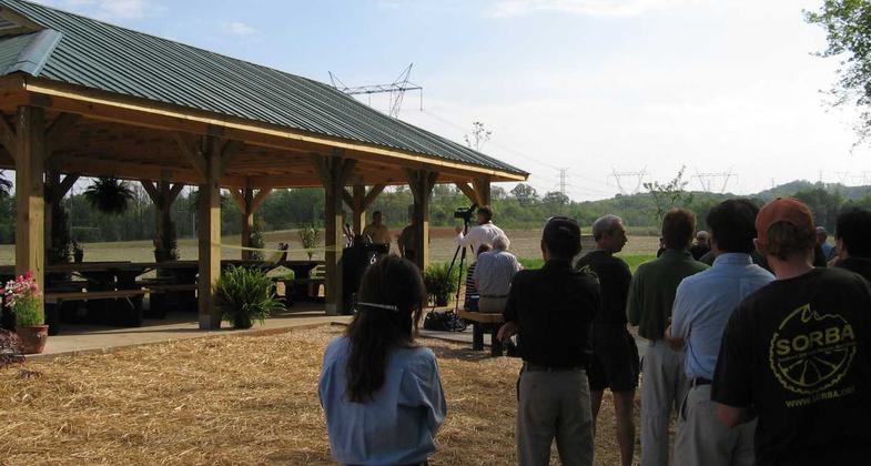
Toyota Community Pavilion for Environmental Education
Location: Within northern city limits of Huntsville, AL
- States: Alabama
- Counties: Madison
- Cities/Townships: Huntsville
Land Trust of North Alabama's Wade Mountain Nature Preserve is currently 843 acres with eight miles of trails for hiking, biking, or horseback riding. (Note: Wade Mountain is currently the only Land Trust Preserve upon which horses are allowed.) A National Recreation Trails grant was awarded in the late 90s and used for trailhead construction.
The geology of Wade Mountain influences the area's microclimate which may be considered almost semi-arid. The land is steep and is composed primarily of highly eroded limestone capped by a layer of sandy soil (Hartselle Sandstone). Water drains the area quickly, leaving little for the plants. Therefore, the variety of plants is somewhat different from those typical of the area and most are smaller than normal. The white ash, cedar, hickory, and scrub glade support unique species, including wild turkeys.
As in most karst topography, there are numerous small but unusual sinkholes and solution cavities. Six springs, four of them intermittent or wet weather springs, flow from the limestone cavities, and there are two waterfalls. Wade Mountain and its springs are the headwaters of Pinhook Creek, which feeds into Huntsville Spring Branch in the heart of Huntsville. Six caves are known on the Preserve.
The Preserve includes the Devil's Race Track, a significant geologic feature located on the eastern lobe and which has one of the best views of north Huntsville, with views to Tennessee on a clear day. This feature is a rock outcropping of Monteagle limestone, is level and is generally covered with grasses and wildflowers. The weathering of the underlying limestone releases numerous Mississippian fossils characteristic of a shallow reef environment. Folklore claims the Cherokee Indians raced horses atop the mountain.
The trail system was created by and is maintained by volunteers. Toyota Motor Manufacturing Alabama, located a few miles from the western Pulaski Pike trailhead, is but one of several corporations that encourage employees to volunteer time for Trail Care Crew workdays.
Both the city of Huntsville and the Land Trust own land that comprise the Preserve, with the Land Trust providing management and trail development/maintenance. The Land Trust's Public Recreation Committee is responsible for identifying, prioritizing, planning, implementing, and maintaining all recreational development including trail development and trailheads on properties opened to the public. In addition, this committee works closely with the Volunteer Coordinator to recruit, develop, and nurture volunteers needed to support their efforts. This committee is also responsible for all mapping and GIS-gathering efforts. The Land Trust staff representatives on the Public Recreation Committee are the Land Manager and the Land Steward.
On the western side, the city of Huntsville's Dry Creek Greenway off Pulaski Pike and Toyota's Community Pavilion for Environmental Education helps the trailhead make a smooth connection between the concrete greenway and the Preserve's natural trails. The trail system is also an integral part of the city's Pinhook Creek Section II Greenway.
The Land Trust offers environmental outreach programs. Seasonal hikes and events on the trails offer a gateway to use and direct enjoyment of Land Trust properties, increasing the probability of self-initiated usage. Environmental education events on the trails help foster an appreciation of nature and the need to preserve the places we love. This is vital in raising the next generation of land preservationists.
Other organized groups such as the Sierra Club, Wildflower Society, OLLI (Osher Lifelong Learning Institute), classes from Alabama A&M University, University of Alabama in Huntsville, and homeschool and Scout groups are but a few who consistently use these trails that are open to the public. The Land Trust has a Memorandum of Understanding with the Huntsville Wildflower Society for their monitoring of the cedar glades atop the mountain.
The Wade Mountain Nature Preserve is one of three Land Trust Preserves that are each larger than Central Park and are all within Huntsville city limits. The Preserve's trail system allows for direct enjoyment and appreciation of this unique natural jewel.
Accessibility Information
No text provided.
Allowed Uses:
Bicycling Dogs, on leash Equestrian Hiking/WalkingOther Activities
- Heritage and history
- Wildlife viewing / observation
Public Contact
Cathie MayneLand Trust of North Alabama
907 Franklin Street
Huntsville, AL 35801
[email protected] • (256) 534-5263
Contact the trail manager for current maps and visiting details.
More Details
- Elevation (low): 800
- Elevation (high): 1475
- Elevation (cumulative): --
- Part of a Trail System? No
- National Designations: 21st Century American Heritage Park
- Surface (primary): Soil
- Surfaces (additional): Paved, Grass or Vegetation, Rock, boulders, Rock, crushed, Rock, smooth, Sand, Soil
- Tread Width (average): 20"
- Tread Width (minimum): 18
- Running length (minimum): --
- Tread Grade (average, percent): 6
- Tread Grade (maximum): 15
- Running length (maximum): --
- Cross-slope (average, percent): 0
- Cross-slope (maximum): --
- Running length (maximum): --
- Certified as an NRT
May 29, 2012

