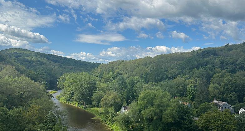
Wallkill Valley Rail Trail
check with the trail manager for updated details before visiting.
Wallkill Valley Rail Trail
Nonprofit
Frontcountry Trail
Rail Trail
- Length
22 miles
- Elevation Gain
--
- Route Type
out & back
(1 review)
- Length
22 miles - Elevation Gain
-- - Route Type
out & back

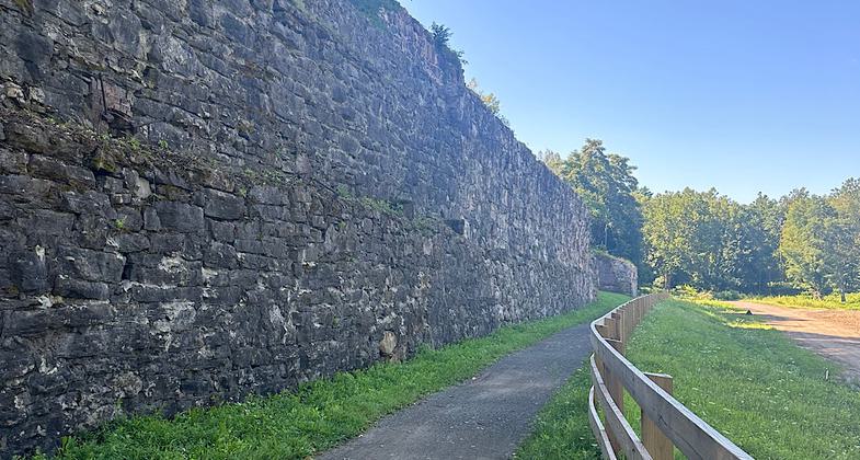
Wallkill Bridge.


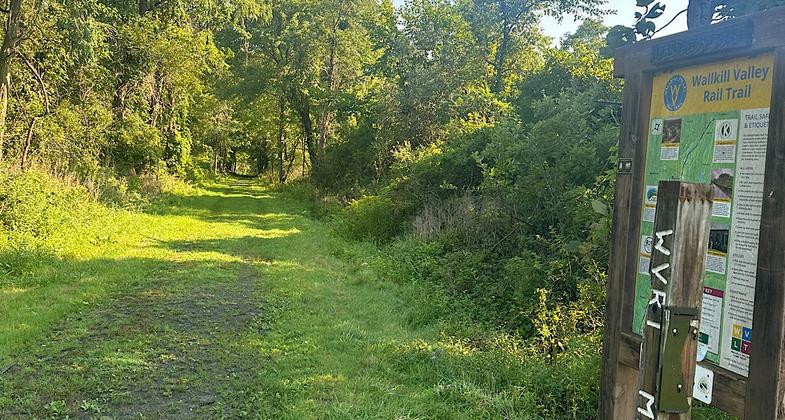
Southern terminus

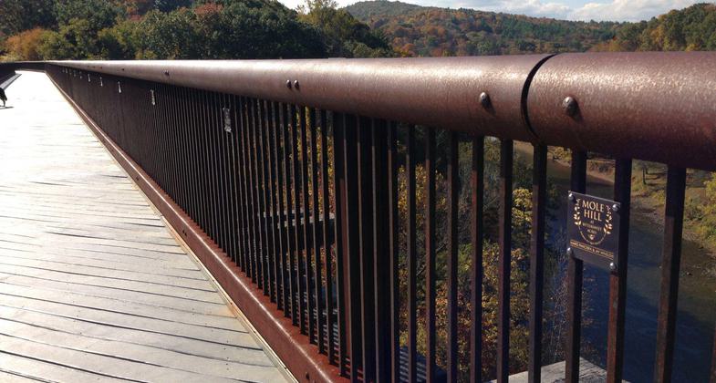
The Rosendale Trestle is 150 feet high, 940 feet long, and an iconic landmark on the trail.
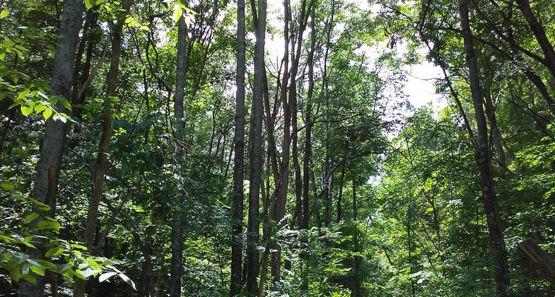
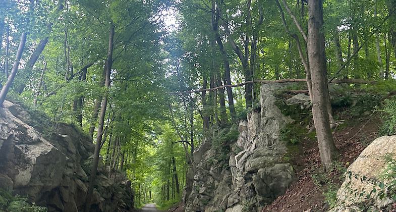
Wallkill forest trail.
Location: Town of Gardiner, Town and Village of New Paltz, Town of Rosendale, and Town of Ulster.
- States: New York
- Counties: Ulster
Located 90 miles north of New York City between the New York State Thruway (I-87) and the Shawangunk Mountains, the Wallkill Valley Rail Trail offers 22+ miles of year-round non-motorized recreation passing through active farms and orchards, three picturesque community centers, woodlands and wetlands, and the Huguenot Street National Historic Landmark District.
As of 2013, the trail has been extended to the north through the towns of Rosendale and Ulster, NY. The trail passes over a historic, newly renovated steel railroad trestle in Rosendale, 150 feet high above the Rondout Creek and 940 feet long. There are stunning views overlooking Rondout Creek and Joppenbergh Mountain.
Seasonal activities include hiking, jogging, running, bicycling, horseback riding, and cross-country skiing. The trail is managed, maintained, and promoted by an all-volunteer not-for-profit corporation with more than 400 supporting members. For further information including printable trail maps, answers to frequently asked questions, and a calendar of events, visit the Wallkill Valley Rail Trail website at www.gorailtrail.org.
Accessibility Information
No text provided.
Reviews
Patricia Ellis
Great community path with some nice views
This well-maintained rail trail offers views of the Shawangunks in its southern section. As you move north, you get streams, lakes, marshes, some old minings caves, a trestle bridge, and some historical buildings related to the Rosendale cement industry (Rosendale cement was used in building the Brooklyn Bridge). The most northern couple of miles in Ulster feel more wild and remote. The whole thing put together is a nice walk/ride, and the local communities make good use of it. Hiked August 10-12, 2024 —Trish Ellis (formerly “Janie Walker”)
Allowed Uses:
Bicycling Dogs, on leash Equestrian Hiking/Walking Snow, cross-country skiing Snow, snowshoeingOther Activities
- Snow, snow play general
Public Contact
Christie DeBoerWallkill Valley Land Trust, Inc.
P.O. Box 208
New Paltz, NY 12561
[email protected] • (845) 255-2761
wallkillvalleylt.org/wvr
Contact the trail manager for current maps and visiting details.
More Details
- Elevation (low): --
- Elevation (high): --
- Elevation (cumulative): --
- Part of a Trail System? No
- State Designations: Hudson River Valley Greenway Trail System
- Surface (primary): Rock, crushed
- Surfaces (additional): Rock, crushed
- Tread Width (average): 96"
- Tread Width (minimum): --
- Running length (minimum): --
- Tread Grade (average, percent): --
- Tread Grade (maximum):
- Running length (maximum): --
- Cross-slope (average, percent): --
- Cross-slope (maximum): --
- Running length (maximum): --
- Certified as an NRT
May 31, 2007

