Wappapello Lake Section of the Ozark Trail
This information is a public record of the 2008 NRT application and may be out of date if it has not been updated by a trail manager --
check with the trail manager for updated details before visiting.
check with the trail manager for updated details before visiting.
Wappapello Lake Section of the Ozark Trail
U.S. Corps of Engineers
Backcountry Trail
- Length
31 miles
- Elevation Gain
--
- Route Type
Loop
- Length
31 miles - Elevation Gain
-- - Route Type
Loop
The Wappepello Lake Section of the Ozark Trail is nestled deep within the beautiful scenery of southeast Missouri. Hikers, bicyclists and horseback riders may use this section.
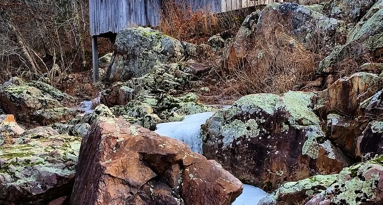
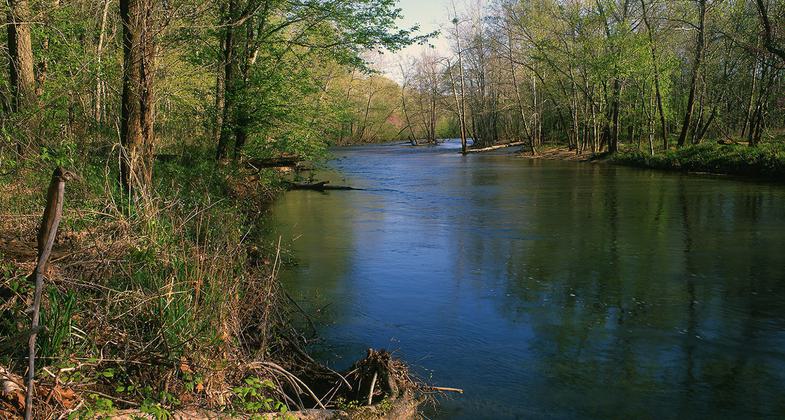
Klepzig Mill. Photo by Mark Nettles.
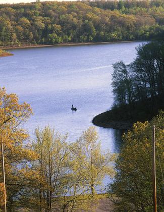
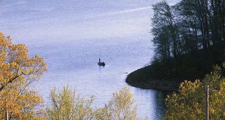
Wappapello Section. Photo by Don Massey.
Wappapelo Section. Photo by Don Massey.
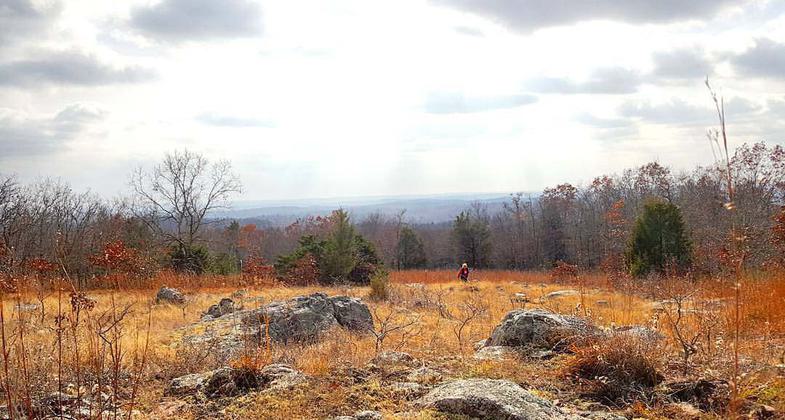
Photo by Jim Davis.
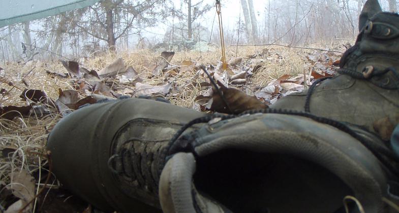
Camp and Boots. Photo by Jim Davis.
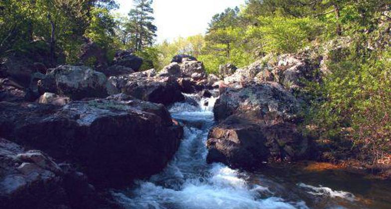
Location: Southeastern Missouri
- States: Missouri
- Cities/Townships: Wayne
The Ozark Trail traverses clear Ozark streams, dry granite barrens, and panoramic mountaintops, and travels near wetlands and fens (a fen is a bog-like area, generally with peaty soils, that is kept constantly moist or wet by spring-fed groundwater and dominated by sedges, forbs and some shrubs), and through deep Ozark forests, providing an opportunity for trail users to experience the variety of the Ozarks.
Accessibility Information
No text provided.
Allowed Uses:
Bicycling Dogs, on leash Equestrian Hiking/WalkingOther Activities
- Camping
- Fishing
- Wildlife viewing / observation
Public Contact
John DavesU.S. Army Corps of Engineers
10992 Hwy T
Wappapello, MO 63966
[email protected] • (573) 222-8562
Contact the trail manager for current maps and visiting details.
More Details
- Elevation (low): --
- Elevation (high): --
- Elevation (cumulative): --
- Part of a Trail System? No
- Surface (primary): Soil
- Surfaces (additional): --
- Tread Width (average): 24"
- Tread Width (minimum): 18
- Running length (minimum): --
- Tread Grade (average, percent): 5
- Tread Grade (maximum): 10
- Running length (maximum): --
- Cross-slope (average, percent): --
- Cross-slope (maximum): --
- Running length (maximum): --
- Certified as an NRT
May 31, 2008

