Wheeler Tenmile Trail
This information is a public record of the 1979 NRT application and may be out of date if it has not been updated by a trail manager --
check with the trail manager for updated details before visiting.
check with the trail manager for updated details before visiting.
Wheeler Tenmile Trail
USDA Forest Service
Rail Trail
- Length
12.1 miles
- Elevation Gain
--
- Route Type
out & back
- Length
12.1 miles - Elevation Gain
-- - Route Type
out & back
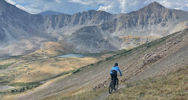
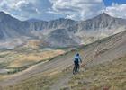
Winner 2024 NRT Photo Contest, Bicycling. Photo by Maddie Kornutiak
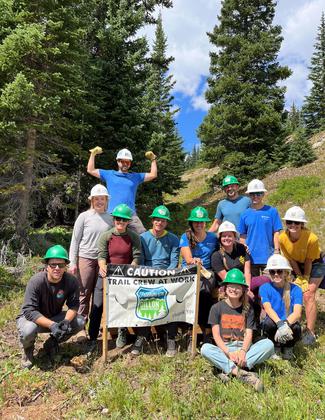
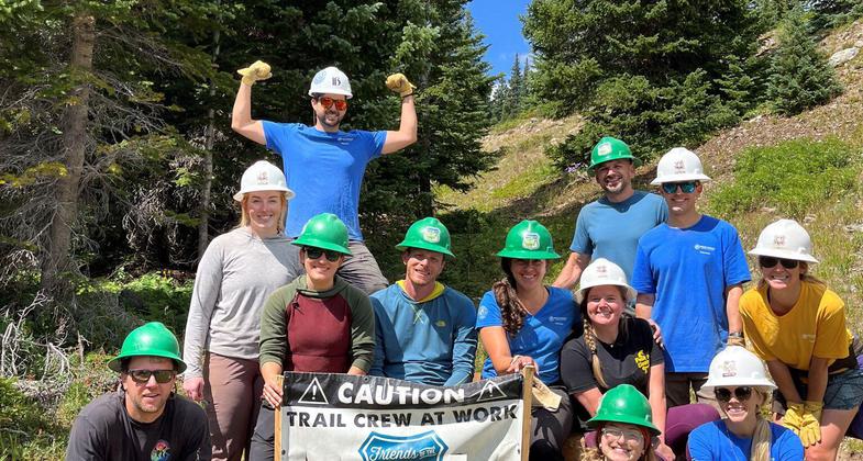
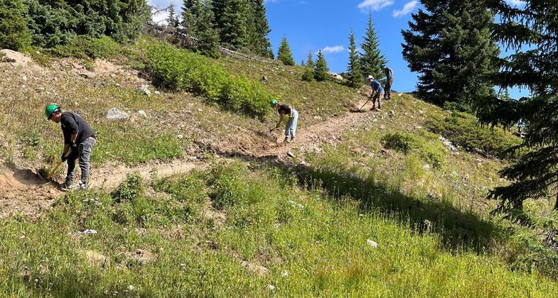
Friends of the Dillon Ranger District volunteers working on the Wheeler Trail in Breckenridge, CO. Photo by Lizzie Morrison.
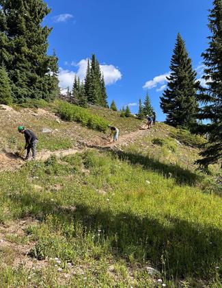
Friends of the Dillon Ranger District volunteers working on the Wheeler Trail in Breckenridge, CO. Photo by Lizzie Morrison.
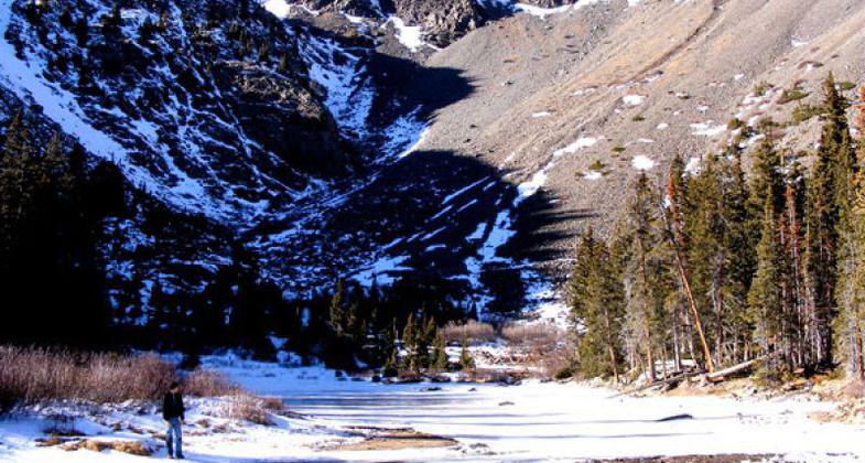
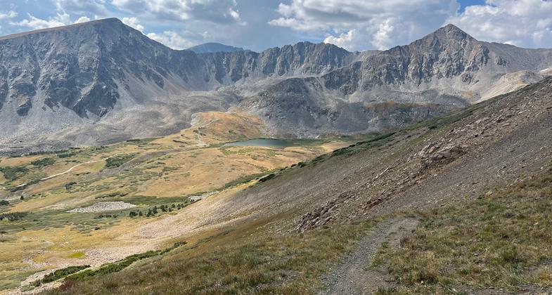
On the banks of a run-off stream with Pacific Peak in the background.
Location: In White River National Forest, joins McCullough Gulch to Breckenridge near I-70.
- States: Colorado
- Counties: Summit
A portion of the 55-mile Summit County Recreational Pathway. The path is paved with asphalt and popular with bike riders. Mountain bikers can use the trail to access backcountry trailheads. In the winter, cross-county skiing is popular on the trail.
Accessibility Information
No text provided.
Allowed Uses:
Bicycling Dogs, on leash Motorized vehicles, snowmobiling Snow, cross-country skiing Snow, snowshoeingOther Activities
- Snow, snow play general
Public Contact
Angela GlennUSDA Forest Service (USFS)
P.O. Box 620
Silverthorne, CO 80498
[email protected] • (970) 468-5400
Contact the trail manager for current maps and visiting details.
More Details
- Elevation (low): 9000
- Elevation (high): 10000
- Elevation (cumulative): --
- Part of a Trail System? No
- National Designations: National Millennium
- Surface (primary): Paved
- Surfaces (additional): Paved
- Tread Width (average): 120"
- Tread Width (minimum): --
- Running length (minimum): --
- Tread Grade (average, percent): 4
- Tread Grade (maximum): 2
- Running length (maximum): --
- Cross-slope (average, percent): --
- Cross-slope (maximum): --
- Running length (maximum): --
- Certified as an NRT
Dec 12, 1979