Whipple Trail
This information is a public record of the 1979 NRT application and may be out of date if it has not been updated by a trail manager --
check with the trail manager for updated details before visiting.
check with the trail manager for updated details before visiting.
Whipple Trail
USDA Forest Service
Backcountry Trail
- Length
6 miles
- Elevation Gain
--
- Route Type
out & back
(1 review)
- Length
6 miles - Elevation Gain
-- - Route Type
out & back
15 difficult, yet amazingly gorgeous miles. Photo by Christy Beckwith.
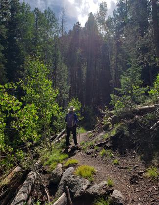
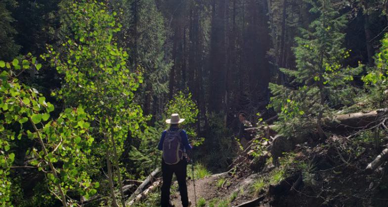
Beautiful forest along Whipple NRT. Photo by Karen Mikkelson.
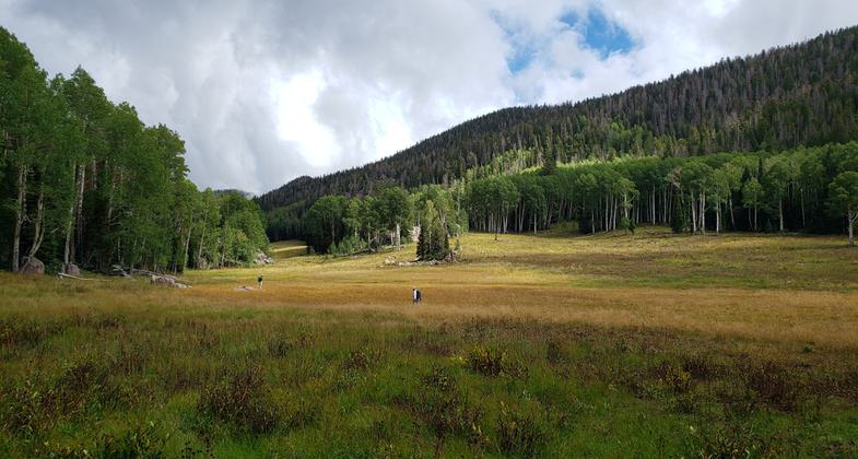
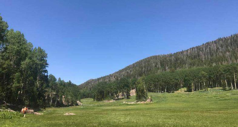
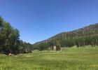
The meadow was beautiful! Twelve mile out and back hike. Photo by Karen Mikkelson.
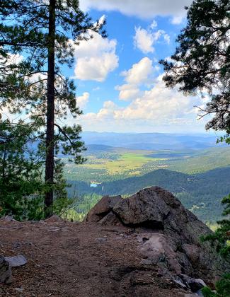
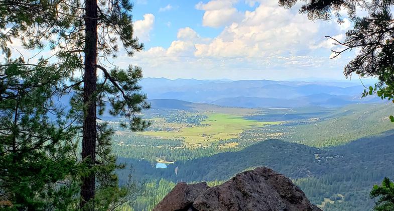
View of Pine Valley from Whipple NRT. Photo by Karen Mikkelson.
Location: Backcountry/Wilderness, In Dixie National Forest, at the Pine Valley Rec. Area near Central.
- States: Utah
This trail is very rugged and arduous. With significant elevation gains. It has excellent viewing opportunities. Has only one opportunity for water and that is intermittent and usually dried up by mid-Aug.
Accessibility Information
No text provided.
Reviews
Karen Mikkelson
Great Hike
The Whipple NRT is a challenging yet very rewarding hike. Amazing views of Pine Valley, sections of enchanted forest, beautiful ponderosa pines and a gorgeous meadow for a destination. 12 miles total round-trip.
Allowed Uses:
Dogs, on leash Equestrian Hiking/WalkingOther Activities
- Camping
Public Contact
Bill HippDixie National Forest
Pine Valley Ranger District
St George, UT 84770
Contact the trail manager for current maps and visiting details.
More Details
- Elevation (low): --
- Elevation (high): --
- Elevation (cumulative): --
- Part of a Trail System? No
- Surface (primary): --
- Surfaces (additional): --
- Tread Width (average): 24"
- Tread Width (minimum): --
- Running length (minimum): --
- Tread Grade (average, percent): --
- Tread Grade (maximum):
- Running length (maximum): --
- Cross-slope (average, percent): --
- Cross-slope (maximum): --
- Running length (maximum): --
- Certified as an NRT
Jun 28, 1979