Whispering Spruce NRT
This information is a public record of the 1980 NRT application and may be out of date if it has not been updated by a trail manager --
check with the trail manager for updated details before visiting.
check with the trail manager for updated details before visiting.
Whispering Spruce NRT
USDA Forest Service
Backcountry Trail
- Length
0.5 miles
- Elevation Gain
--
- Route Type
Loop
- Length
0.5 miles - Elevation Gain
-- - Route Type
Loop
The Whispering Spruce Trail circles Spruce Knob and the top of The Mountain State. At an elevation of 4,863 feet, Spruce Knob is the highest point in West Virginia.
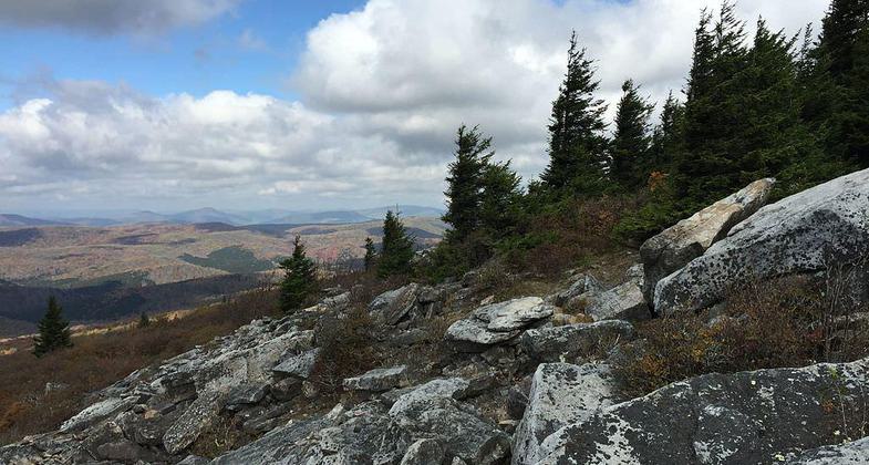
View north from the Whispering Spruce Trail just west of Spruce Knob, West Virginia. Photo by Famartin.
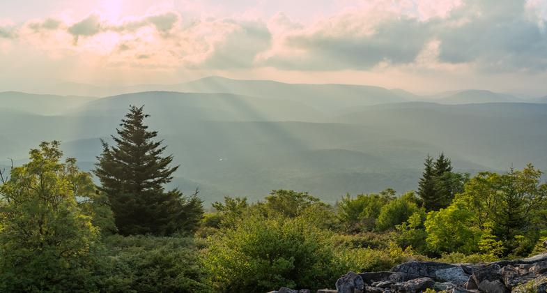
View from Spruce Knob. Photo by Josh Killian Photography.
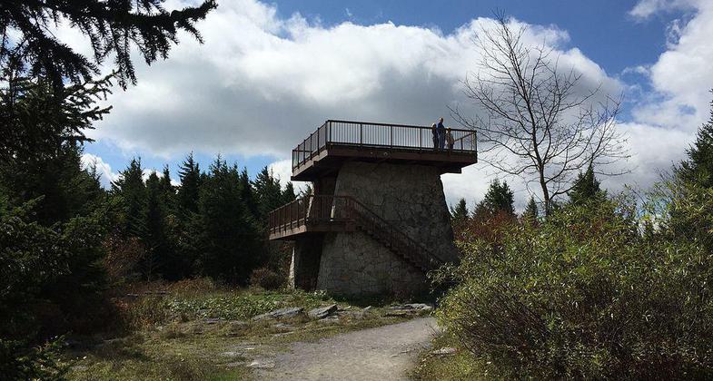
Observation tower at the summit of Spruce Knob, West Virginia. Photo by Famartin.
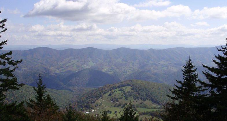
View southeast through Red Spruce forest from the Whispering Spruce Trail just southeast of Spruce Knob, West Virginia. Photo by Famartin.
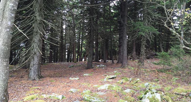
Red Spruce forest along the Whispering Spruce Trail just south of Spruce Knob, West Virginia. Photo by Famartin.
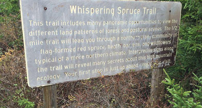
Sign describing the Whispering Spruce Trail on Spruce Knob, West Virginia. Photo by Famartin.
Location: At Spruce Knob within the Monongehela National Forest.
- States: West Virginia
- Counties: Pendleton
The Whispering Spruce Trail and Spruce Knob lie within the Cheat-Potomac Ranger District of the Monongahela National Forest. The Whispering Spruce Trail provides access to the Spruce Knob Tower, several wonderful views, and a shady spruce forest. The trail is approximately 1/2 mile long, graveled, and relatively flat with very little elevation change. There are several picnic sites located near the southeastern trailhead.
Accessibility Information
No text provided.
Allowed Uses:
Dogs, on leash Hiking/WalkingPublic Contact
Cheat-Potomac Ranger DistrictUSDA Forest Service
2499 North Fork Hwy
Petersburg, WV
(304) 257-4488
www.fs.usda.gov/main/mnf/home
Contact the trail manager for current maps and visiting details.
More Details
- Elevation (low): 4800
- Elevation (high): 4840
- Elevation (cumulative): --
- Part of a Trail System? No
- Surface (primary): Rock, crushed
- Surfaces (additional): Rock, crushed, Rock, smooth
- Tread Width (average): 60"
- Tread Width (minimum): --
- Running length (minimum): --
- Tread Grade (average, percent): 2
- Tread Grade (maximum): 5
- Running length (maximum): --
- Cross-slope (average, percent): --
- Cross-slope (maximum): --
- Running length (maximum): --
- Certified as an NRT
Jun 11, 1980

