White Pine Trail
check with the trail manager for updated details before visiting.
White Pine Trail
USDA Forest Service
Backcountry Trail
- Length
3.62 miles
- Elevation Gain
--
- Route Type
Loop
(1 review)
- Length
3.62 miles - Elevation Gain
-- - Route Type
Loop
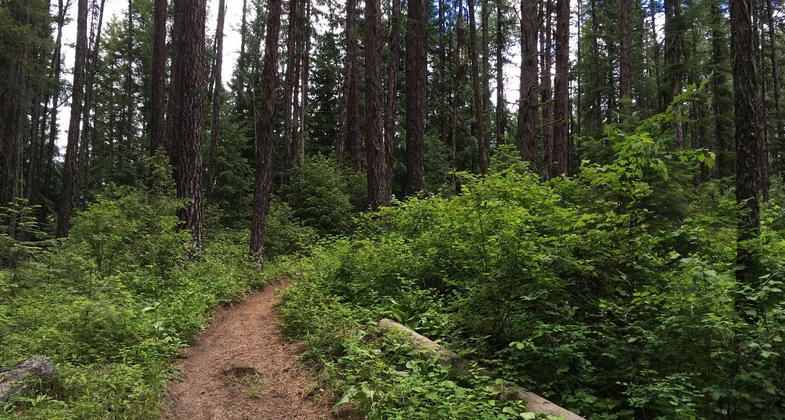
Vividly green plant life surrounds the trail. Photo by Katie Rapp.
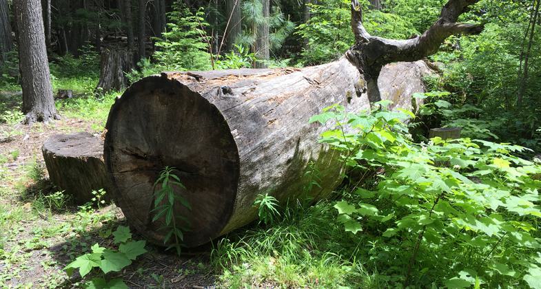
Giant White Pine. Photo by Katie Rapp.

NRT sign marks the start and end of the trail. Photo by Katie Rapp.
Location: 35 miles NE of Moscow, ID. via SH 6., In Clearwater National Forest, off SR 6 N of Harvard at Giant White Pine Campground.
- States: Idaho
- Counties: Latah
The trail passes through coniferous forest with evidence of early logging. Several scenic vistas of rolling hills. Campground at trailhead.
Accessibility Information
No text provided.
Reviews
Katie Rapp
Fantastic loop trail through towering pines and cedars
This trail is a fantastic 3.5 mile loop through an incredible old growth forest. The route starts at the Giant White Pine campground, which is located right off the highway. This particular loop is only 3.5 miles but several trails connect to it so you can easily extend your route. Make sure you bring GPS and study the trails before you head out. The individual trails are well marked but the signage on the trail doesn't tell you which trails to turn on to stay on the loop. This is a multi-use trail- open to hikers, runners, bicyclists, and dirt bikers. There is some trail damage from the dirt bikes but nothing prohibitive.
Allowed Uses:
Bicycling Dogs, on leash Equestrian Hiking/WalkingOther Activities
- Camping
Public Contact
Duane AnnisClearwater National Forest
Clearwater National Forest
Orofino, ID 83544
[email protected] • (208) 476-4450
Contact the trail manager for current maps and visiting details.
More Details
- Elevation (low): 2800
- Elevation (high): 3200
- Elevation (cumulative): --
- Part of a Trail System? No
- Surface (primary): Soil
- Surfaces (additional): Soil
- Tread Width (average): 24"
- Tread Width (minimum): --
- Running length (minimum): --
- Tread Grade (average, percent): --
- Tread Grade (maximum):
- Running length (maximum): --
- Cross-slope (average, percent): --
- Cross-slope (maximum): --
- Running length (maximum): --
- Certified as an NRT
Dec 12, 1979