White River "Wapahani" Trail
This information is a public record of the 2002 NRT application and may be out of date if it has not been updated by a trail manager --
check with the trail manager for updated details before visiting.
check with the trail manager for updated details before visiting.
White River "Wapahani" Trail
City, Town, or County
Frontcountry Trail
- Length
4.5 miles
- Elevation Gain
--
- Route Type
out & back
- Length
4.5 miles - Elevation Gain
-- - Route Type
out & back
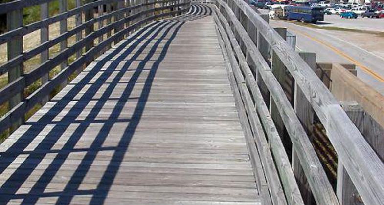
White River.
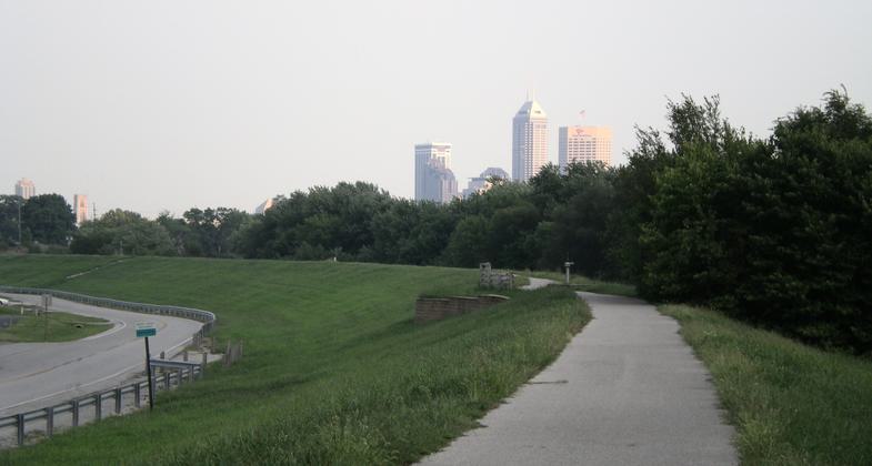
Downtown Indy from two miles up the trail. Photo by John Terrill.

Bridge over the White River. Photo by John Terrill.
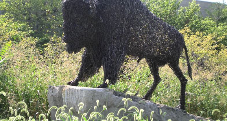
Art work leads to the White River Trailhead near Indiana University/Purdue. Photo by John Terrill.
Location: Indianapolis, IN
- States: Indiana
- Counties: Marion
The White River Wapahani Trail, winding along the banks of the White River, is truly a trail with history in its making. The name "Wapahani" comes from the Delaware Indiana tribe's word for White River. The White River makes a winding path through the city, 27 miles from the northeast corner to the southwest. For more information about this important river, go to: www.indcanal.org. Making a home in this river are many species of small fish, small animals, and invertebrates, and deer, coyotes, or red foxes can possibly be spotted. A variety of ducks and birds, like the blue heron inhabit the White River in Indianapolis too.
Accessibility Information
No text provided.
Allowed Uses:
Bicycling Hiking/WalkingOther Activities
- Fishing
Public Contact
Terri VanZantIndianapolis Parks, Greenways
900 E. 64th St.
Indianapolis, IN 46220
tvanzant@indygov. org • (317) 327-7431
www.indygreenways.org
Contact the trail manager for current maps and visiting details.
More Details
- Elevation (low): 695
- Elevation (high): 712
- Elevation (cumulative): --
- Part of a Trail System? No
- Surface (primary): Paved
- Surfaces (additional): Paved
- Tread Width (average): 96"
- Tread Width (minimum): --
- Running length (minimum): --
- Tread Grade (average, percent): --
- Tread Grade (maximum):
- Running length (maximum): --
- Cross-slope (average, percent): --
- Cross-slope (maximum): --
- Running length (maximum): --
- Certified as an NRT
May 31, 2002

