Will Rogers Country Centennial Trail
check with the trail manager for updated details before visiting.
Will Rogers Country Centennial Trail
U.S. Corps of Engineers
Backcountry Trail
- Length
18 miles
- Elevation Gain
--
- Route Type
out & back
(2 reviews)
- Length
18 miles - Elevation Gain
-- - Route Type
out & back
The total length of the trail is 18 miles, which includes 5 miles of random trails on and around scenic 346-acre Tom Kight Hill. The trail is continuous and was designed primarily for equestrian use, although hikers and mountain bikers are also encouraged to use it.
Location: Trail is located on along the east side of Oologah Lake in Rogers County, Oklahoma.
- States: Oklahoma
- Counties: Rogers
The trail was named by the Will Rogers Memorial Commission and dedicated on November 3, 1979, as a part of the Will Rogers Centennial Year Celebration.
Construction of the trail began in 1975 and was a cooperative effort between the Corps of Engineers and volunteers who were local members of the Oklahoma Equestrian Trail Riders Association.
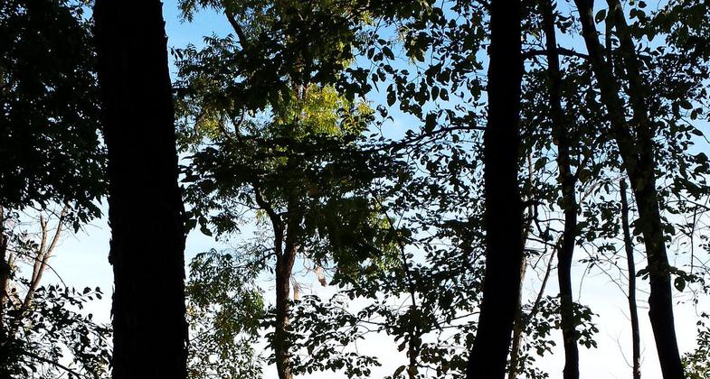
The trail is continuous and was designed primarily for equestrian use, although hikers and mountain bikers are also encouraged to use it. Actual trail construction was held to a minimum so as not to disturb the natural features. The trail is delineated by fiberglass posts at appropriate locations. The trail is designed to prevent motor vehicle access. The trail wanders through open to dense stands of oak-hickory hardwoods connected by open pastures. It is moderately level, with the exception of the Tom Kight Hill portion of the trail of which sections are steep and considered a challenge to most equestrian riders (riders may choose to bypass this portion of the trail). One creek, near Blue Creek Park, must be forded to travel the total length of the trail. The total length of the trail is 18 miles, which includes 5 miles of random trails on and around scenic 346-acre Tom Kight Hill. Many species of aquatic wildlife, as well as wild turkey, deer, and quail, can be seen from the trail. The boyhood home of humorist Will Rogers can be seen northwest across the lake from several places along the trail.
Accessibility Information
No text provided.
Reviews
Scott Worley
Awesome trail
With Beautiful views of the lake this trail is great for hiking.
Mishelle Hancock
You have to experience this!
I'm an ultra trail runner and love this trail for training. In fact, I consider this my"home" trail. Not a great trail for running or mountain biking though when the ground is wet. The considerable horse traffic keeps the trail pretty chewed up in some places but I still love to share this trail with the friendly equestrians. My favorite time of year to run this trail is in the winter time when the ground cover and brush has been beaten back by the season. In late spring and summer, the Kite Hill portion of the trail can be a bit overgrown with sticker bushes which makes running up there somewhat hazardous but the horseback riders are treated with some beautiful vista views of the lake and surrounding areas. I often see armadillos, possum, deer and wild turkey on many parts of the trail. I've been running this trail for 6 or 7 years and have only seen 2 non-poisonous snakes out there though I have heard of a timber rattler being seen out there some years ago. It is a beautiful and quiet trail that I would recommend to any equestrian, trail runner, hiker or mountain bike enthusiast.
Allowed Uses:
Equestrian Hiking/WalkingOther Activities
- Wildlife viewing / observation
Public Contact
Randi CliftonUS Army Corps of Engineers
Oologah Lake
Oologah, OK 74053
[email protected] • (918) 443-2250
www.swt.usace.army.mil/Home.aspx
Contact the trail manager for current maps and visiting details.
More Details
- Elevation (low): --
- Elevation (high): --
- Elevation (cumulative): --
- Part of a Trail System? No
- Surface (primary): Soil
- Surfaces (additional): --
- Tread Width (average): 0"
- Tread Width (minimum): --
- Running length (minimum): --
- Tread Grade (average, percent): --
- Tread Grade (maximum):
- Running length (maximum): --
- Cross-slope (average, percent): --
- Cross-slope (maximum): --
- Running length (maximum): --
- Certified as an NRT
Aug 3, 1995


