Willamette River Trail
check with the trail manager for updated details before visiting.
Willamette River Trail
City, Town, or County
Urban Trail
- Length
12 miles
- Elevation Gain
--
- Route Type
out & back
- Length
12 miles - Elevation Gain
-- - Route Type
out & back
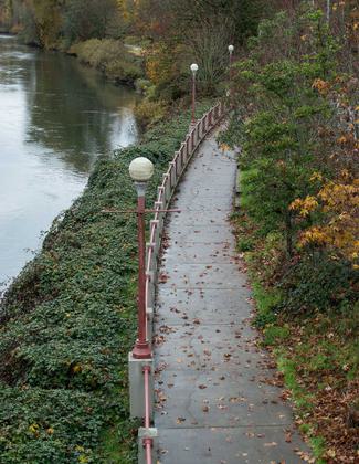
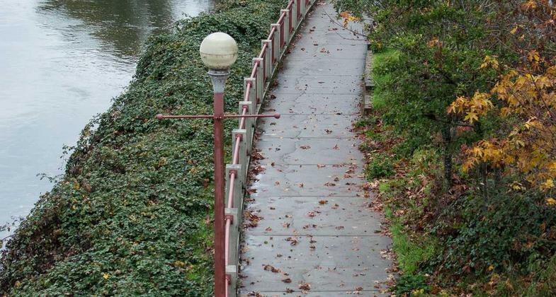
The Willamette River trail (known officially as the Ruth Bascom Riverbank Trail system) is a paved bikeway/walkway in Eugene, Oregon

Bicycle commuters use the Willamette River Trail to quickly get across town.


It's not uncommon for the trail to flood in winter.

The northern section of the trail, which traverses both sides of the river.

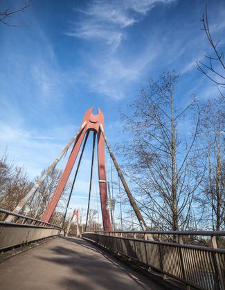
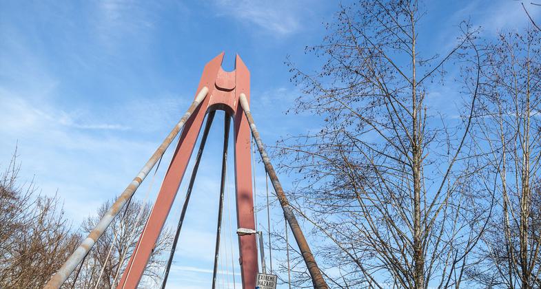
A footbridge over the Willamette River.
Location: Multi-use trail along west side of Willamette R. in Eugene.
- States: Oregon
- Counties: Lane
- Cities/Townships: Eugene
The Willamette River Trail (known officially as the Ruth Bascom Riverbank Trail system) is a paved bikeway/walkway in Eugene, Oregon. A vital part of the alternative transportation system in Eugene, the Riverbank Path links neighborhoods and shopping areas, as well as vital wetlands, along the 13.9 miles of trail. The trail follows both the north and south banks of the Willamette River, utilizing four pedestrian bridges for crossings. The trail is open to multi-uses and is a popular walking, running, and cycling route in Eugene.
Accessibility Information
No text provided.
Allowed Uses:
Bicycling Hiking/WalkingPublic Contact
Eugene Parks and Recreation Dept.858 Pearl St.
Eugene, OR 97401
Contact the trail manager for current maps and visiting details.
More Details
- Elevation (low): --
- Elevation (high): --
- Elevation (cumulative): --
- Part of a Trail System? No
- Surface (primary): Paved
- Surfaces (additional): --
- Tread Width (average): 0"
- Tread Width (minimum): --
- Running length (minimum): --
- Tread Grade (average, percent): --
- Tread Grade (maximum):
- Running length (maximum): --
- Cross-slope (average, percent): --
- Cross-slope (maximum): --
- Running length (maximum): --
- Certified as an NRT
May 31, 1971


