Wilson Mountain Trail
This information is a public record of the 1979 NRT application and may be out of date if it has not been updated by a trail manager --
check with the trail manager for updated details before visiting.
check with the trail manager for updated details before visiting.
Wilson Mountain Trail
USDA Forest Service
Backcountry Trail
- Length
5 miles
- Elevation Gain
--
- Route Type
out & back
- Length
5 miles - Elevation Gain
-- - Route Type
out & back

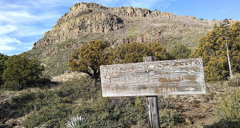
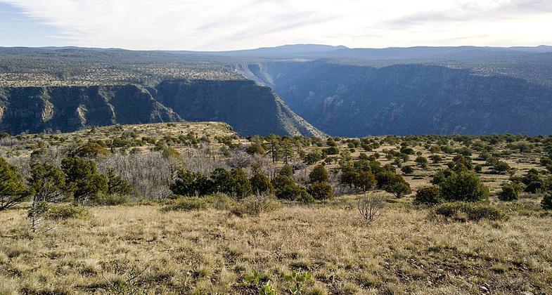
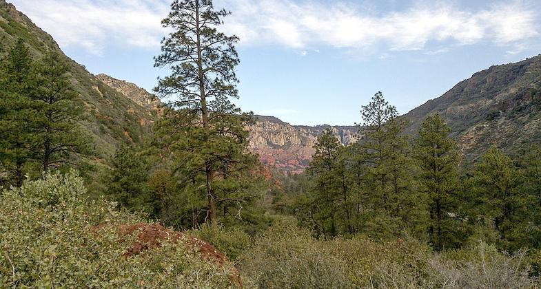
Wilson Mountain North Trail, Sedona, Arizona, Coconino County. Photo by David Pinter/wiki.

Wilson Mountain North Trail, Sedona, Arizona, Coconino County. Photo by David Pinter/wiki.

Wilson Mountain North Trail, Sedona, Arizona, Coconino County. Photo by David Pinter/wiki.
Location: Backcountry/Wilderness, Sedona.
- States: Arizona
This hike heads straight for some of the most panoramic views in the Oak Creek Canyon/Sedona area. Plan a full day for it and start early -- the climb up Wilson Mountain is a strenuous one. The majority of the 2300-foot climb is packed into the first mile or so of the hike. You'll have more reasons than just exertion to stop and take a breather along this route, however. The views start as soon as you leave the car and they just keep getting better.
Accessibility Information
No text provided.
Allowed Uses:
Swimming Dogs, on leash Equestrian Hiking/WalkingOther Activities
- Camping
Public Contact
Bill StaffordCoconino National Forest
Sedona Ranger District
Rimrock, AZ 86335
(520) 567-7624
Contact the trail manager for current maps and visiting details.
More Details
- Elevation (low): --
- Elevation (high): --
- Elevation (cumulative): --
- Part of a Trail System? No
- Surface (primary): --
- Surfaces (additional): --
- Tread Width (average): 24"
- Tread Width (minimum): --
- Running length (minimum): --
- Tread Grade (average, percent): --
- Tread Grade (maximum):
- Running length (maximum): --
- Cross-slope (average, percent): --
- Cross-slope (maximum): --
- Running length (maximum): --
- Certified as an NRT
Oct 4, 1979

