Woodland Trail
check with the trail manager for updated details before visiting.
Woodland Trail
State
Backcountry Trail
- Length
1.3 miles
- Elevation Gain
--
- Route Type
Loop
- Length
1.3 miles - Elevation Gain
-- - Route Type
Loop
Location: South of Canton at Newton Hills State Park
- States: South Dakota
- Counties: Lincoln
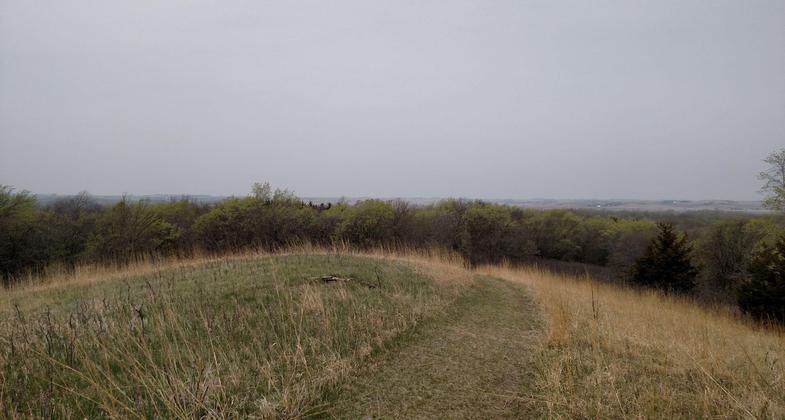
Glaciers created this narrow strip of rolling hills and forest that is part of the geological formation called the Coteau des Prairie, which extends along the eastern boundary of South Dakota. At its highest point, the Coteau rises to more than 2,000 feet above sea level. Artifacts and burial mounds found near the park indicate that a Woodland Indian Culture inhabited this region between 300 B.C. and 900 A.D. The area's unique dark forest, amidst a vast open prairie, has prompted many recent legends, including buried gold, robbers' hideouts, and horse thieves.
The trail is a 1.3-mile loop nature trail in the park.
Accessibility Information
No text provided.
Allowed Uses:
Hiking/Walking Snow, cross-country skiing Snow, snowshoeingOther Activities
- Camping
- Snow, snow play general
Public Contact
South Dakota Game, Fish & ParksNewton Hills State Park
Canton, SD 57013
[email protected] • (605) 987-2263
Contact the trail manager for current maps and visiting details.
More Details
- Elevation (low): --
- Elevation (high): --
- Elevation (cumulative): --
- Part of a Trail System? No
- Surface (primary): --
- Surfaces (additional): --
- Tread Width (average): 0"
- Tread Width (minimum): --
- Running length (minimum): --
- Tread Grade (average, percent): --
- Tread Grade (maximum):
- Running length (maximum): --
- Cross-slope (average, percent): --
- Cross-slope (maximum): --
- Running length (maximum): --
- Certified as an NRT
Dec 7, 1976


